Towers Hill Area, Towers Hill Postcode(4820) & Map in Towers Hill, Townsville, QLD
Towers Hill Area, Towers Hill Postcode(4820) & Map in Towers Hill, Townsville, QLD, AU, Postcode: 4820
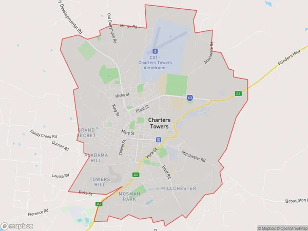
Towers Hill, Charters Towers, Charters Towers - Ayr - Ingham, Townsville, Queensland, Australia, 4820
Towers Hill Postcode
Area Name
Towers HillTowers Hill Suburb Area Map (Polygon)
Towers Hill Introduction
Towers Hill is a suburb of Townsville, Queensland, Australia, located 10 km north-west of the city center. It is known for its natural beauty, including the Towers Hill National Park and the Mount Spec National Park. The suburb has a population of approximately 10,000 people and is home to a variety of wildlife, including kangaroos, wallabies, and emus.State Name
City or Big Region
District or Regional Area
Suburb Name
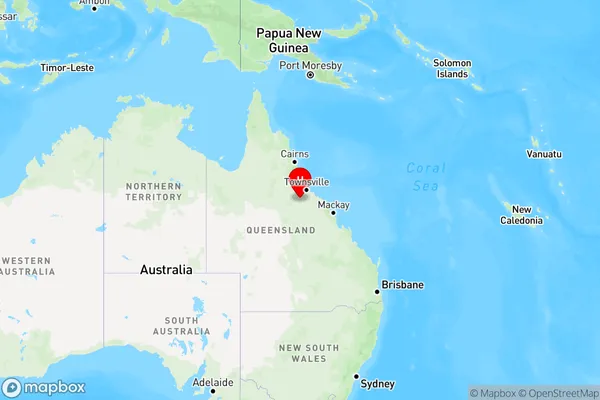
Towers Hill Region Map
Country
Main Region in AU
R3Coordinates
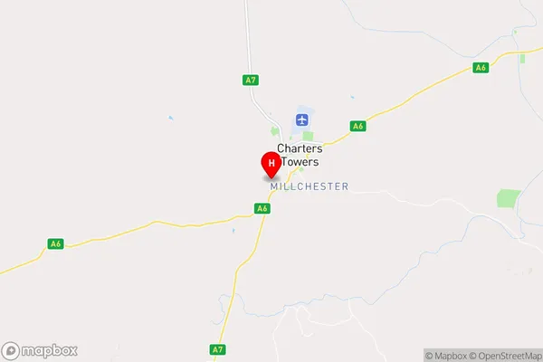
-20.0899377,146.2496246 (latitude/longitude)Towers Hill Area Map (Street)
Longitude
146.2505114Latitude
-20.09048269Towers Hill Elevation
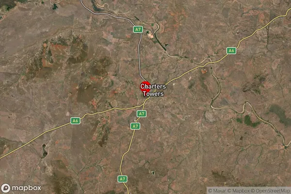
about 289.73 meters height above sea level (Altitude)Towers Hill Suburb Map (Satellite)
Distances
The distance from Towers Hill, Townsville, QLD to AU Greater Capital CitiesSA1 Code 2011
31801146202SA1 Code 2016
31801146202SA2 Code
318011462SA3 Code
31801SA4 Code
318RA 2011
3RA 2016
3MMM 2015
4MMM 2019
4Charge Zone
Q4LGA Region
Charters TowersLGA Code
32310Electorate
Kennedy