Boree Area, Boree Postcode(2800) & Map in Boree, Central West, NSW
Boree Area, Boree Postcode(2800) & Map in Boree, Central West, NSW, AU, Postcode: 2800
Boree, Orange Region, Orange, Central West, New South Wales, Australia, 2800
Boree Postcode
Area Name
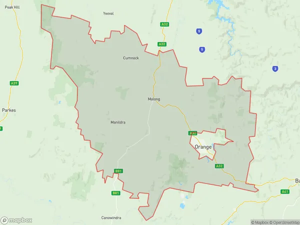
BoreeBoree Suburb Area Map (Polygon)
Boree Introduction
Boree is a small town in Central West, NSW, Australia, known for its rich history and agricultural industry. It is home to the Boree Cotton Heritage Centre, which showcases the history of cotton farming in the region.State Name
City or Big Region
District or Regional Area
Suburb Name
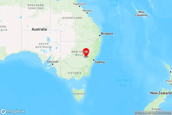
Boree Region Map
Country
Main Region in AU
R3Coordinates
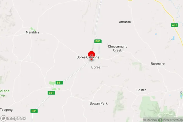
-33.2388,148.826 (latitude/longitude)Boree Area Map (Street)
Longitude
148.8446662Latitude
-33.25176391Boree Elevation
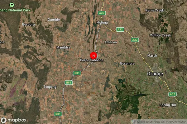
about 537.12 meters height above sea level (Altitude)Boree Suburb Map (Satellite)
Distances
The distance from Boree, Central West, NSW to AU Greater Capital CitiesSA1 Code 2011
10304107929SA1 Code 2016
10304107929SA2 Code
103041079SA3 Code
10304SA4 Code
103RA 2011
2RA 2016
2MMM 2015
5MMM 2019
5Charge Zone
N2LGA Region
CabonneLGA Code
11400Electorate
Calare