Wrights Creek Area, Wrights Creek Postcode(2775) & Map in Wrights Creek, Sydney - Baulkham Hills and Hawkesbury, NSW
Wrights Creek Area, Wrights Creek Postcode(2775) & Map in Wrights Creek, Sydney - Baulkham Hills and Hawkesbury, NSW, AU, Postcode: 2775
Wrights Creek, Bilpin - Colo - St Albans, Hawkesbury, Sydney - Baulkham Hills and Hawkesbury, New South Wales, Australia, 2775
Wrights Creek Postcode
Area Name
Wrights CreekWrights Creek Suburb Area Map (Polygon)

Wrights Creek Introduction
Wrights Creek is a suburb in Sydney, Australia, located in the Baulkham Hills and Hawkesbury local government areas. It is known for its natural beauty, including the Wrights Creek Valley and the Wrights Creek Nature Reserve. The area is home to a variety of wildlife, including kangaroos, emus, and native birds.State Name
City or Big Region
District or Regional Area
Suburb Name
Wrights Creek Region Map

Country
Main Region in AU
R3Coordinates
-33.302778,151.005833 (latitude/longitude)Wrights Creek Area Map (Street)

Longitude
151.0387409Latitude
-33.31145027Wrights Creek Elevation
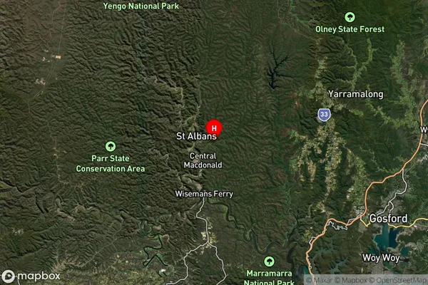
about 201.81 meters height above sea level (Altitude)Wrights Creek Suburb Map (Satellite)
Distances
The distance from Wrights Creek, Sydney - Baulkham Hills and Hawkesbury, NSW to AU Greater Capital CitiesSA1 Code 2011
11503129908SA1 Code 2016
11503129908SA2 Code
115031299SA3 Code
11503SA4 Code
115RA 2011
2RA 2016
2MMM 2015
5MMM 2019
5Charge Zone
N1LGA Region
Central CoastLGA Code
11650Electorate
Robertson