Lost River Area, Lost River Postcode(2583) & Map in Lost River, Capital Region, NSW
Lost River Area, Lost River Postcode(2583) & Map in Lost River, Capital Region, NSW, AU, Postcode: 2583
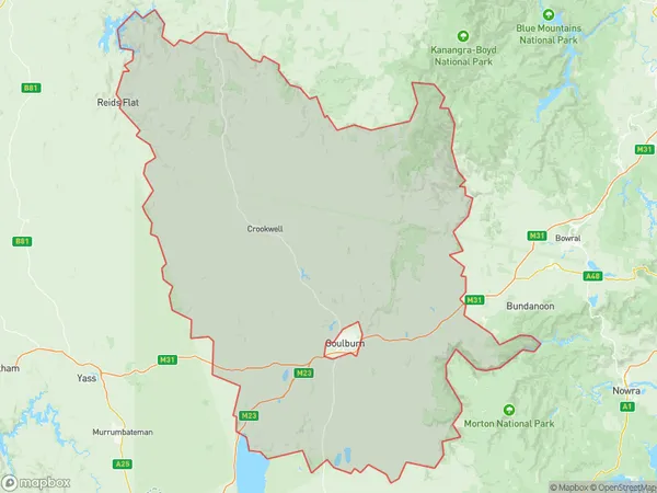
Lost River, Goulburn Region, Goulburn - Mulwaree, Capital Region, New South Wales, Australia, 2583
Lost River Postcode
Area Name
Lost RiverLost River Suburb Area Map (Polygon)
Lost River Introduction
Lost River is a small town in the Central Tablelands of New South Wales, Australia. It is located on the banks of the Belubula River and is known for its scenic beauty, including the Lost River Nature Reserve. The town has a population of around 1,000 people and is a popular destination for fishing, camping, and hiking.State Name
City or Big Region
District or Regional Area
Suburb Name
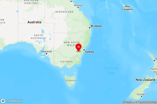
Lost River Region Map
Country
Main Region in AU
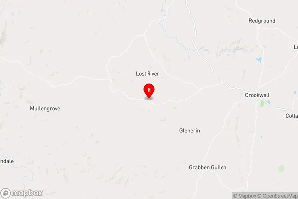
R3Coordinates
-34.4629,149.32 (latitude/longitude)Lost River Area Map (Street)
Longitude
149.3176639Latitude
-34.43609164Lost River Elevation
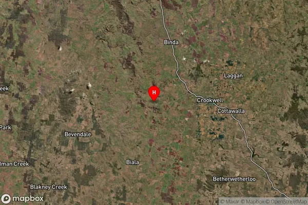
about 751.63 meters height above sea level (Altitude)Lost River Suburb Map (Satellite)
Distances
The distance from Lost River, Capital Region, NSW to AU Greater Capital CitiesSA1 Code 2011
10101100216SA1 Code 2016
10105154006SA2 Code
101051540SA3 Code
10105SA4 Code
101RA 2011
2RA 2016
2MMM 2015
5MMM 2019
5Charge Zone
N2LGA Region
Upper Lachlan ShireLGA Code
17640Electorate
Hume