Carrick Area, Carrick Postcode(2580) & Map in Carrick, Capital Region, NSW
Carrick Area, Carrick Postcode(2580) & Map in Carrick, Capital Region, NSW, AU, Postcode: 2580
Carrick, Goulburn Region, Goulburn - Mulwaree, Capital Region, New South Wales, Australia, 2580
Carrick Postcode
Area Name
CarrickCarrick Suburb Area Map (Polygon)
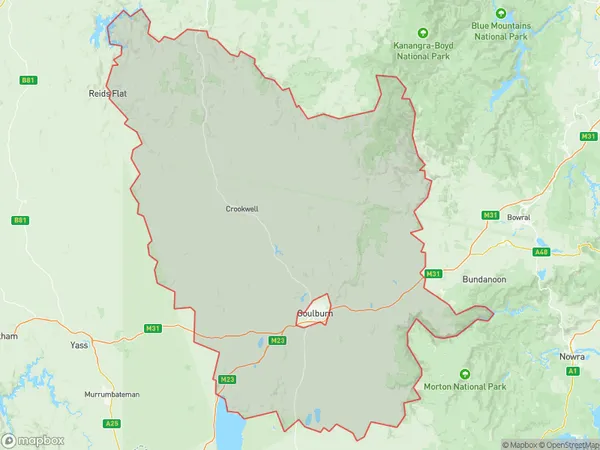
Carrick Introduction
Carrick is a suburb of the City of Campbelltown in the Macarthur region of New South Wales, Australia. It is located 50 kilometers south-west of the Sydney central business district and is part of the Greater Western Sydney region. Carrick is known for its rural landscape, with many farms and vineyards in the area. It is also home to the Carrick Hill Estate, a historic property that was once the home of Sir Thomas Mitchell, a former Governor of New South Wales.State Name
City or Big Region
District or Regional Area
Suburb Name
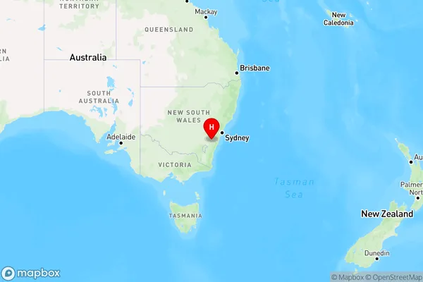
Carrick Region Map
Country
Main Region in AU
R3Coordinates
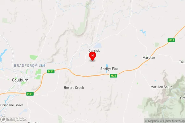
-34.7184,149.881 (latitude/longitude)Carrick Area Map (Street)
Longitude
149.9056718Latitude
-34.70547025Carrick Elevation
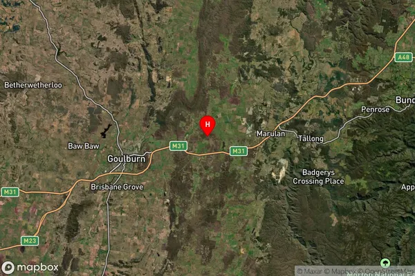
about 652.82 meters height above sea level (Altitude)Carrick Suburb Map (Satellite)
Distances
The distance from Carrick, Capital Region, NSW to AU Greater Capital CitiesSA1 Code 2011
10101100213SA1 Code 2016
10105154023SA2 Code
101051540SA3 Code
10105SA4 Code
101RA 2011
2RA 2016
2MMM 2015
5MMM 2019
5Charge Zone
N2LGA Region
Goulburn MulwareeLGA Code
13310Electorate
Hume