Moruben Area, Moruben Postcode(2325) & Map in Moruben, Hunter Valley exc Newcastle, NSW
Moruben Area, Moruben Postcode(2325) & Map in Moruben, Hunter Valley exc Newcastle, NSW, AU, Postcode: 2325
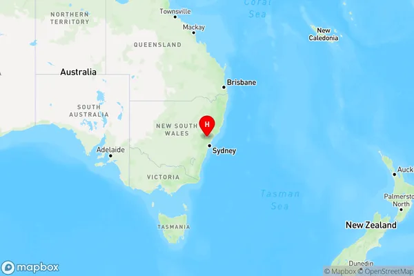
Moruben, Cessnock Region, Lower Hunter, Hunter Valley exc Newcastle, New South Wales, Australia, 2325
Moruben Postcode
Area Name
MorubenMoruben Suburb Area Map (Polygon)

Moruben Introduction
Moruben is a small town in the Hunter Valley region of New South Wales, Australia, located approximately 100 kilometers north of Newcastle. It is known for its wine production, particularly for its shiraz grapes. The town has a population of around 2,000 people and is home to several wineries, including the Moruben Winery.State Name
City or Big Region
District or Regional Area
Suburb Name
Moruben Region Map
Country
Main Region in AU
R3Coordinates
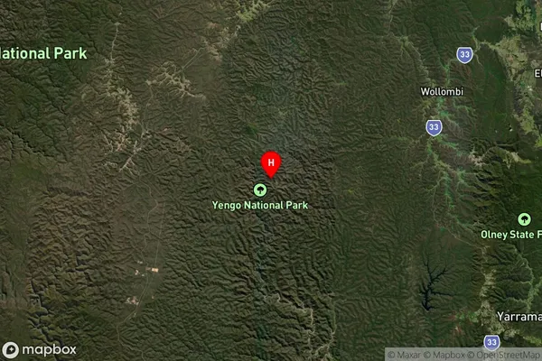
-33.0512192,150.8820569 (latitude/longitude)Moruben Area Map (Street)

Longitude
150.889563Latitude
-33.052927Moruben Elevation
about 256.61 meters height above sea level (Altitude)Moruben Suburb Map (Satellite)
Distances
The distance from Moruben, Hunter Valley exc Newcastle, NSW to AU Greater Capital CitiesSA1 Code 2011
10601110921SA1 Code 2016
10601110921SA2 Code
106011109SA3 Code
10601SA4 Code
106RA 2011
2RA 2016
2MMM 2015
5MMM 2019
5Charge Zone
N2LGA Region
HawkesburyLGA Code
13800Electorate
Hunter