Magenta Area, Magenta Postcode(2261) & Map in Magenta, Central Coast, NSW
Magenta Area, Magenta Postcode(2261) & Map in Magenta, Central Coast, NSW, AU, Postcode: 2261
Magenta, The Entrance, Wyong, Central Coast, New South Wales, Australia, 2261
Magenta Postcode
Area Name
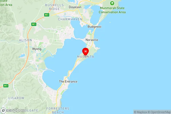
MagentaMagenta Suburb Area Map (Polygon)

Magenta Introduction
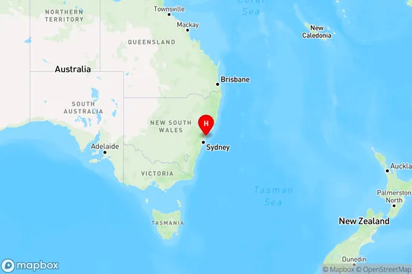
Magenta is a suburb of the Central Coast of New South Wales, Australia, located approximately 90 kilometers north of Sydney. It is known for its scenic coastline, including beaches and national parks, and its relaxed lifestyle. Magenta has a population of around 10,000 people and is home to a variety of amenities, including schools, shops, and restaurants.State Name
City or Big Region
District or Regional Area
Suburb Name
Magenta Region Map
Country
Main Region in AU
R3Coordinates
-33.299,151.543 (latitude/longitude)Magenta Area Map (Street)
Longitude
151.5350654Latitude
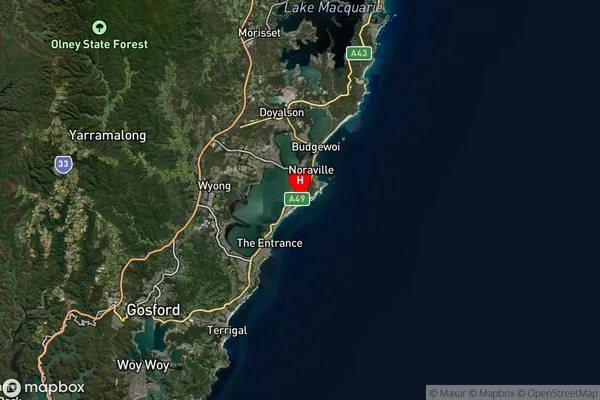
-33.30022987Magenta Suburb Map (Satellite)
Distances
The distance from Magenta, Central Coast, NSW to AU Greater Capital CitiesSA1 Code 2011
10202105322SA1 Code 2016
10202105322SA2 Code
102021053SA3 Code
10202SA4 Code
102RA 2011
1RA 2016
1MMM 2015
1MMM 2019
1Charge Zone
N1LGA Region
Central CoastLGA Code
11650Electorate
Dobell