Wutunugurra Area, Wutunugurra Postcode(0872) & Map in Wutunugurra, Northern Territory - Outback, NT
Wutunugurra Area, Wutunugurra Postcode(0872) & Map in Wutunugurra, Northern Territory - Outback, NT, AU, Postcode: 0872
Wutunugurra, Barkly, Barkly, Northern Territory - Outback, Northern Territory, Australia, 0872
Wutunugurra Postcode
Area Name
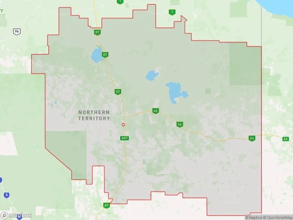
WutunugurraWutunugurra Suburb Area Map (Polygon)
Wutunugurra Introduction
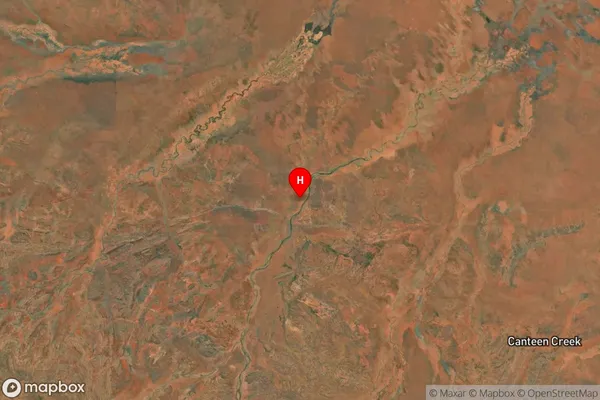
Wutunugurra is a remote Aboriginal community in the Northern Territory, Australia, with a population of around 100 people. It is located on the banks of the Roper River and is known for its traditional art and culture. The community is accessible only by air or by boat and has limited infrastructure.State Name
City or Big Region
District or Regional Area
Suburb Name
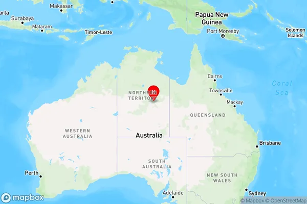
Wutunugurra Region Map
Country
Main Region in AU
R1Coordinates
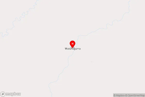
-20.4632,135.251 (latitude/longitude)Wutunugurra Area Map (Street)
Longitude
131.298809Latitude
-21.949513Wutunugurra Elevation
about 311.38 meters height above sea level (Altitude)Wutunugurra Suburb Map (Satellite)
Distances
The distance from Wutunugurra, Northern Territory - Outback, NT to AU Greater Capital CitiesSA1 Code 2011
70202105506SA1 Code 2016
70202105506SA2 Code
702021055SA3 Code
70202SA4 Code
702RA 2011
5RA 2016
5MMM 2015
7MMM 2019
7Charge Zone
NT1LGA Region
Central DesertLGA Code
70620Electorate
Lingiari