Hale Area, Hale Postcode(0872) & Map in Hale, Northern Territory - Outback, NT
Hale Area, Hale Postcode(0872) & Map in Hale, Northern Territory - Outback, NT, AU, Postcode: 0872
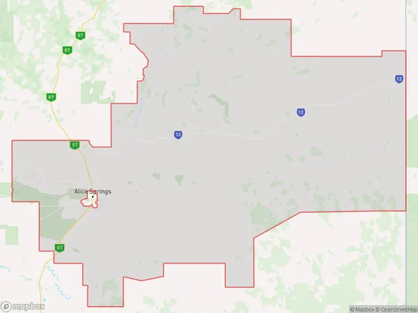
Hale, Sandover - Plenty, Alice Springs, Northern Territory - Outback, Northern Territory, Australia, 0872
Hale Postcode
Area Name
HaleHale Suburb Area Map (Polygon)
Hale Introduction
Hale is a small town in the Northern Territory of Australia, located in the Outback. It is known for its scenic beauty, including the nearby MacDonnell Ranges and the Finke River. The town has a population of around 1,000 people and is a popular destination for tourists seeking to experience the Australian Outback.State Name
City or Big Region
District or Regional Area
Suburb Name
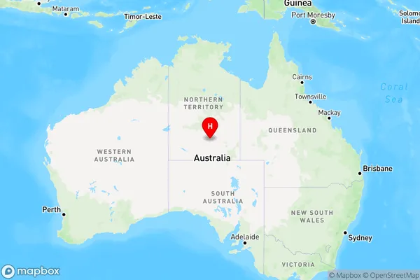
Hale Region Map
Country
Main Region in AU
R1Coordinates
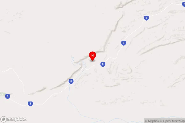
-23.6812,134.218 (latitude/longitude)Hale Area Map (Street)
Longitude
131.298809Latitude
-21.949513Hale Elevation
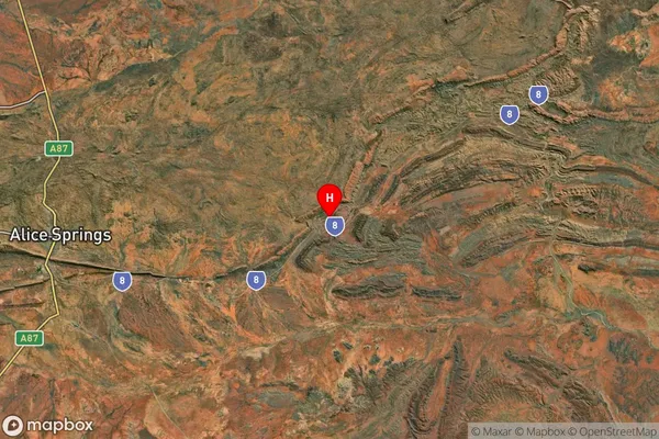
about 333.36 meters height above sea level (Altitude)Hale Suburb Map (Satellite)
Distances
The distance from Hale, Northern Territory - Outback, NT to AU Greater Capital CitiesSA1 Code 2011
70201105216SA1 Code 2016
70201105216SA2 Code
702011052SA3 Code
70201SA4 Code
702RA 2011
4RA 2016
4MMM 2015
6MMM 2019
6Charge Zone
NT1LGA Region
Central DesertLGA Code
70620Electorate
Lingiari