Tablelands Area, Tablelands Postcode(0862) & Map in Tablelands, Northern Territory - Outback, NT
Tablelands Area, Tablelands Postcode(0862) & Map in Tablelands, Northern Territory - Outback, NT, AU, Postcode: 0862
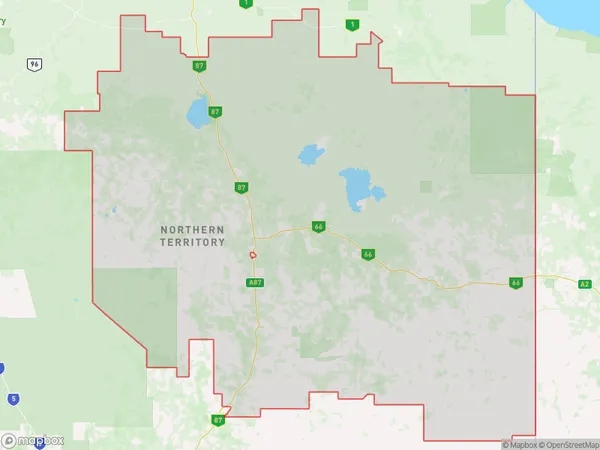
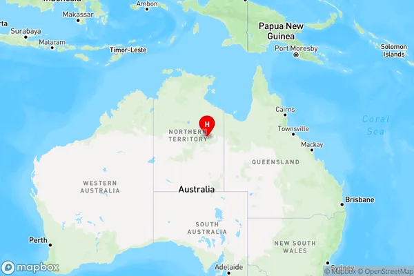
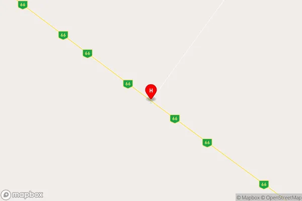
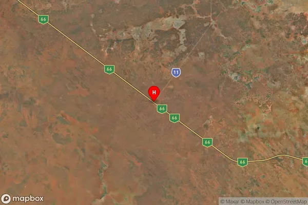
Tablelands, Barkly, Barkly, Northern Territory - Outback, Northern Territory, Australia, 0862
Tablelands Postcode
Area Name
TablelandsTablelands Suburb Area Map (Polygon)
Tablelands Introduction
The Tablelands is a remote and rugged region in the Northern Territory of Australia, known for its vast plains, rocky outcrops, and rich Indigenous culture. It is home to the Aboriginal community of Yuendumu, which has a population of over 1,000 people. The area is also a popular destination for hiking, camping, and wildlife watching, with many species of birds and animals found in the region.State Name
City or Big Region
District or Regional Area
Suburb Name
Tablelands Region Map
Country
Main Region in AU
R1Coordinates
-19.7089,135.827 (latitude/longitude)Tablelands Area Map (Street)
Longitude
135.5134605Latitude
-18.92862068Tablelands Elevation
about 203.78 meters height above sea level (Altitude)Tablelands Suburb Map (Satellite)
Distances
The distance from Tablelands, Northern Territory - Outback, NT to AU Greater Capital CitiesSA1 Code 2011
70202105502SA1 Code 2016
70202105502SA2 Code
702021055SA3 Code
70202SA4 Code
702RA 2011
5RA 2016
5MMM 2015
7MMM 2019
7Charge Zone
NT1LGA Region
BarklyLGA Code
70420Electorate
Lingiari