Warumungu Area, Warumungu Postcode(0852) & Map in Warumungu, Northern Territory - Outback, NT
Warumungu Area, Warumungu Postcode(0852) & Map in Warumungu, Northern Territory - Outback, NT, AU, Postcode: 0852
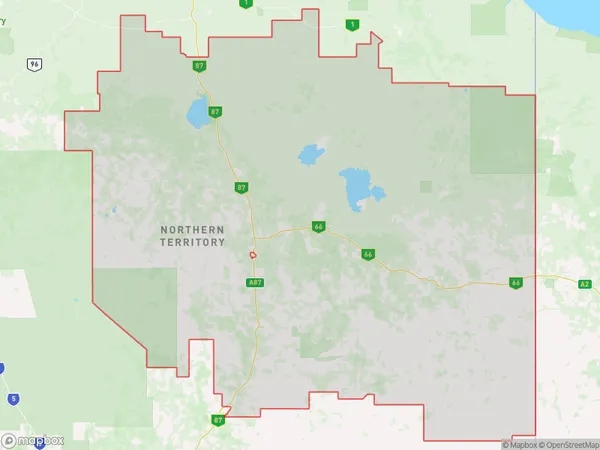
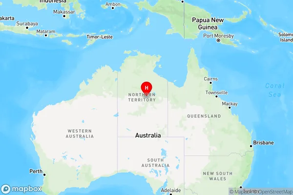
Warumungu, Barkly, Barkly, Northern Territory - Outback, Northern Territory, Australia, 0852
Warumungu Postcode
Area Name
WarumunguWarumungu Suburb Area Map (Polygon)
Warumungu Introduction
Warumungu is a remote Aboriginal community in the Northern Territory, Australia. It is known for its stunning landscapes, including the nearby Bitter Springs and Elsey National Park. The community is home to around 1,000 people, who live a traditional lifestyle based on hunting, gathering, and farming. Warumungu is also home to several important cultural sites, including rock art galleries and sacred sites.State Name
City or Big Region
District or Regional Area
Suburb Name
Warumungu Region Map
Country
Main Region in AU
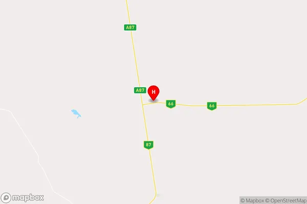
R1Coordinates
-19.4366,134.223 (latitude/longitude)Warumungu Area Map (Street)
Longitude
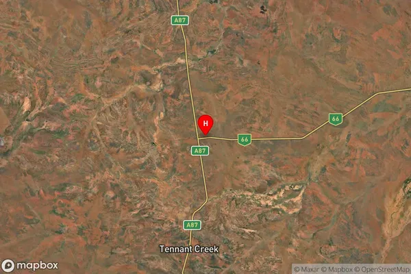
130.8418661Latitude
-16.4525888Warumungu Elevation
about 97.45 meters height above sea level (Altitude)Warumungu Suburb Map (Satellite)
Distances
The distance from Warumungu, Northern Territory - Outback, NT to AU Greater Capital CitiesSA1 Code 2011
70202105503SA1 Code 2016
70202105503SA2 Code
702021055SA3 Code
70202SA4 Code
702RA 2011
5RA 2016
5MMM 2015
7MMM 2019
7Charge Zone
NT1LGA Region
Victoria DalyLGA Code
74550Electorate
Lingiari