Micalo Island Area, Micalo Island Postcode(2464) & Map in Micalo Island, Coffs Harbour - Grafton, NSW
Micalo Island Area, Micalo Island Postcode(2464) & Map in Micalo Island, Coffs Harbour - Grafton, NSW, AU, Postcode: 2464
Micalo Island, Maclean - Yamba - Iluka, Clarence Valley, Coffs Harbour - Grafton, New South Wales, Australia, 2464
Micalo Island Postcode
Area Name
Micalo IslandMicalo Island Suburb Area Map (Polygon)

Micalo Island Introduction
Micalo Island is a small island located off the coast of Coffs Harbour in New South Wales, Australia. It is known for its beautiful beaches, lush forests, and diverse wildlife, including koalas, wallabies, and sea turtles. The island is a popular destination for tourists and is accessible by a short ferry ride from Coffs Harbour. Visitors can explore the island's walking trails, picnic areas, and beaches, and also participate in water activities such as snorkeling and diving. Micalo Island is a protected area and is home to a number of endangered species, including the green and golden bell frog and the eastern long-necked turtle.State Name
City or Big Region
District or Regional Area
Suburb Name
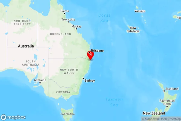
Micalo Island Region Map

Country
Main Region in AU
R3Coordinates
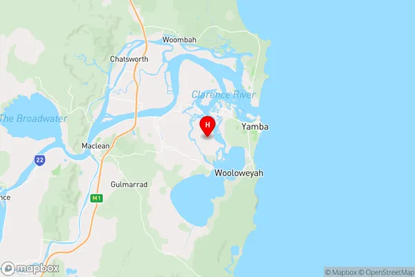
-29.4502977,153.3122414 (latitude/longitude)Micalo Island Area Map (Street)

Longitude
153.334228Latitude
-29.484556Micalo Island Elevation
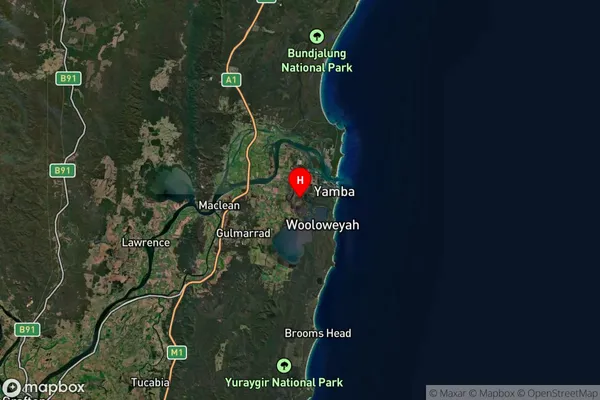
about 18.41 meters height above sea level (Altitude)Micalo Island Suburb Map (Satellite)

Distances
The distance from Micalo Island, Coffs Harbour - Grafton, NSW to AU Greater Capital CitiesSA1 Code 2011
10401108240SA1 Code 2016
10401108240SA2 Code
104011082SA3 Code
10401SA4 Code
104RA 2011
2RA 2016
2MMM 2015
4MMM 2019
4Charge Zone
N2LGA Region
Richmond ValleyLGA Code
16610Electorate
Page