The Sandon Area, The Sandon Postcode(2463) & Map in The Sandon, Coffs Harbour - Grafton, NSW
The Sandon Area, The Sandon Postcode(2463) & Map in The Sandon, Coffs Harbour - Grafton, NSW, AU, Postcode: 2463
The Sandon, Maclean - Yamba - Iluka, Clarence Valley, Coffs Harbour - Grafton, New South Wales, Australia, 2463
The Sandon Postcode
Area Name
The SandonThe Sandon Suburb Area Map (Polygon)

The Sandon Introduction
The Sandon is a heritage-listed hotel located in Coffs Harbour, New South Wales, Australia. It is a significant example of the colonial architecture of the late 19th and early 20th centuries and is known for its beautiful gardens and relaxed atmosphere. The hotel was built in 1889 and has been carefully restored to its original grandeur. It offers a range of accommodation options, including suites, apartments, and rooms, and is popular with both tourists and locals alike. The hotel also features a restaurant, bar, and conference facilities, making it an ideal venue for weddings, functions, and meetings.State Name
City or Big Region
District or Regional Area
Suburb Name
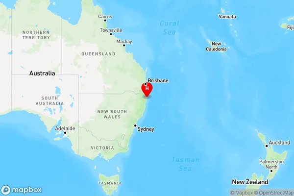
The Sandon Region Map

Country
Main Region in AU
R3Coordinates
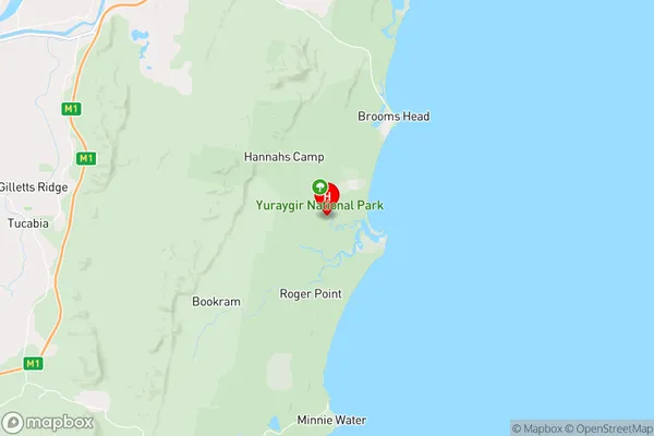
-29.6652229,153.2948148 (latitude/longitude)The Sandon Area Map (Street)

Longitude
153.104789Latitude
-29.36691The Sandon Elevation
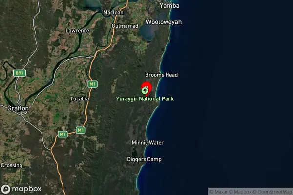
about 4.00 meters height above sea level (Altitude)The Sandon Suburb Map (Satellite)

Distances
The distance from The Sandon, Coffs Harbour - Grafton, NSW to AU Greater Capital CitiesSA1 Code 2011
10401108210SA1 Code 2016
10401108210SA2 Code
104011082SA3 Code
10401SA4 Code
104RA 2011
3RA 2016
3MMM 2015
5MMM 2019
5Charge Zone
N2LGA Region
Richmond ValleyLGA Code
16610Electorate
Page