Canning Mills Area, Canning Mills Postcode(6111) & Map in Canning Mills, Perth - South East, WA
Canning Mills Area, Canning Mills Postcode(6111) & Map in Canning Mills, Perth - South East, WA, AU, Postcode: 6111
Canning Mills, Lesmurdie - Bickley - Carmel, Kalamunda, Perth - South East, Western Australia, Australia, 6111
Canning Mills Postcode
Area Name
Canning MillsCanning Mills Suburb Area Map (Polygon)

Canning Mills Introduction
Canning Mills is a suburb of Perth, Western Australia, located 14 kilometers southeast of the central business district. It is known for its historic mills and scenic surroundings, including the Canning River. The suburb has a population of approximately 10,000 people and is home to a variety of businesses, including a shopping center, schools, and parks.State Name
City or Big Region
District or Regional Area
Suburb Name
Canning Mills Region Map
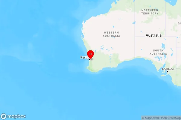
Country
Main Region in AU
R2Coordinates
-32.0710842,116.1049672 (latitude/longitude)Canning Mills Area Map (Street)
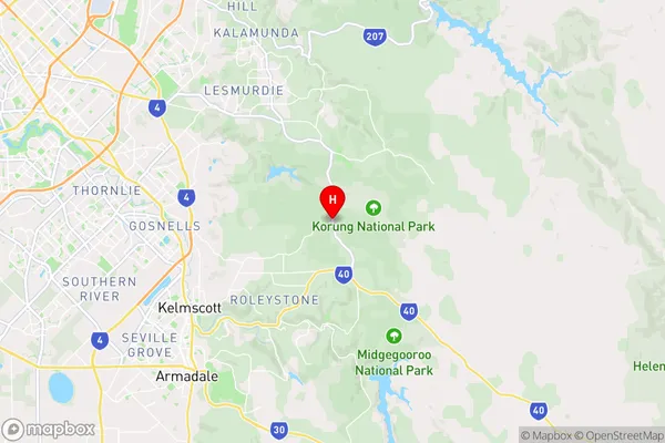
Longitude
116.095955Latitude
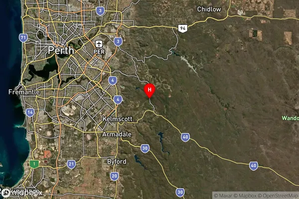
-32.09788Canning Mills Elevation
about 318.13 meters height above sea level (Altitude)Canning Mills Suburb Map (Satellite)
Distances
The distance from Canning Mills, Perth - South East, WA to AU Greater Capital CitiesSA1 Code 2011
50605114101SA1 Code 2016
50605114101SA2 Code
506051141SA3 Code
50605SA4 Code
506RA 2011
2RA 2016
2MMM 2015
2MMM 2019
2Charge Zone
W1LGA Region
ArmadaleLGA Code
50210Electorate
Canning