Walliston Dc Area, Walliston Dc Postcode(6076) & Map in Walliston Dc, Perth - South East, WA
Walliston Dc Area, Walliston Dc Postcode(6076) & Map in Walliston Dc, Perth - South East, WA, AU, Postcode: 6076
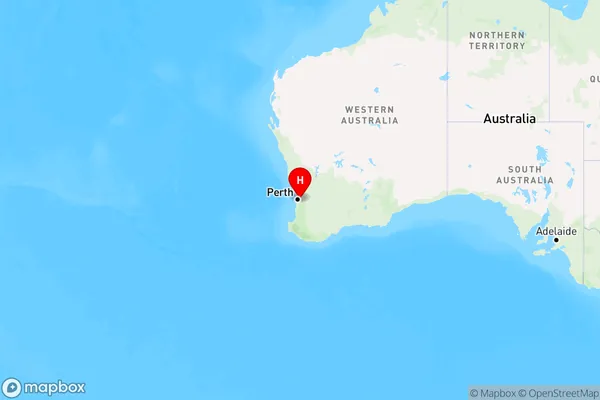
Walliston Dc, Lesmurdie - Bickley - Carmel, Kalamunda, Perth - South East, Western Australia, Australia, 6076
Walliston Dc Postcode
Area Name
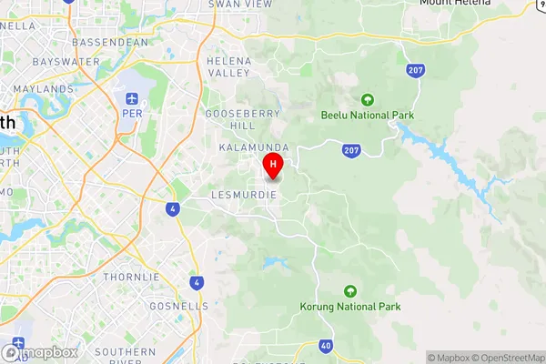
Walliston DcWalliston Dc Suburb Area Map (Polygon)

Walliston Dc Introduction
Walliston Dc is a residential suburb in Perth, Western Australia, located 22 kilometers southeast of the central business district. It is known for its natural beauty, including parks and reserves, and is home to a variety of wildlife. The suburb has a population of approximately 10,000 people and is serviced by public transport and a number of schools.State Name
City or Big Region
District or Regional Area
Suburb Name
Walliston Dc Region Map
Country
Main Region in AU
R2Coordinates
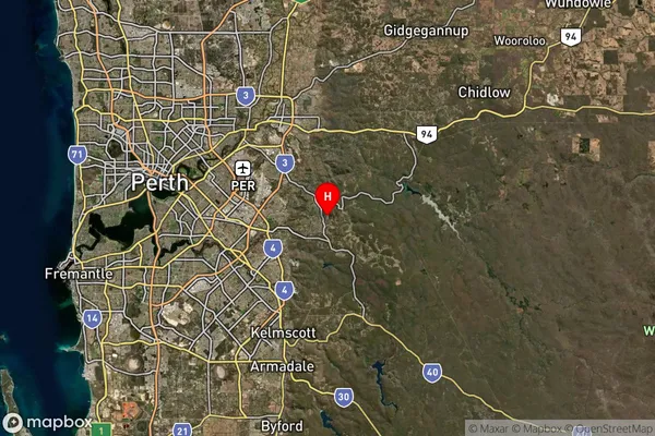
-31.994,116.072 (latitude/longitude)Walliston Dc Area Map (Street)
Longitude
116.208263Latitude
-32.108961Walliston Dc Suburb Map (Satellite)
Distances
The distance from Walliston Dc, Perth - South East, WA to AU Greater Capital CitiesSA1 Code 2011
50605114112SA1 Code 2016
50605114112SA2 Code
506051141SA3 Code
50605SA4 Code
506RA 2011
1RA 2016
1MMM 2015
1MMM 2019
1Charge Zone
W1LGA Region
ArmadaleLGA Code
50210Electorate
Hasluck