Lesmurdie Area, Lesmurdie Postcode(6076) & Map in Lesmurdie, Perth - South East, WA
Lesmurdie Area, Lesmurdie Postcode(6076) & Map in Lesmurdie, Perth - South East, WA, AU, Postcode: 6076
Lesmurdie, Lesmurdie - Bickley - Carmel, Kalamunda, Perth - South East, Western Australia, Australia, 6076
Lesmurdie Postcode
Area Name
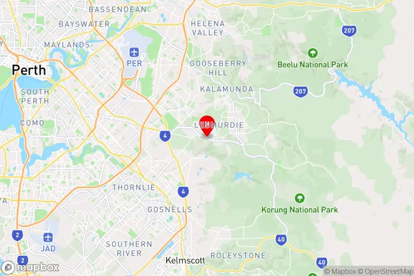
LesmurdieLesmurdie Suburb Area Map (Polygon)

Lesmurdie Introduction
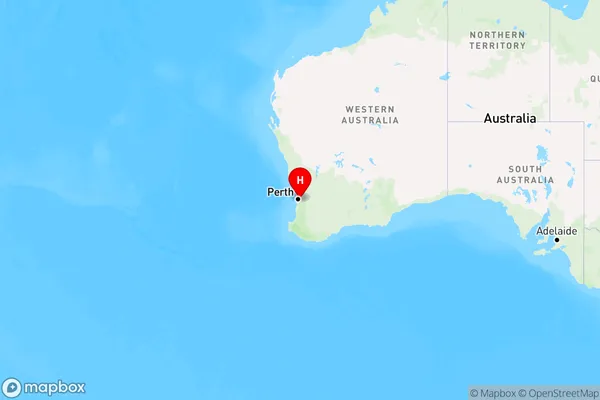
Lesmurdie, Perth - South East, WA, AU is a suburb of Perth, Western Australia, located 16 kilometers east of Perth's central business district. It is known for its scenic views of the city and the Darling Range, as well as its natural attractions such as the Lesmurdie Falls and the Lesmurdie Falls National Park.State Name
City or Big Region
District or Regional Area
Suburb Name
Lesmurdie Region Map
Country
Main Region in AU
R2Coordinates
-32.0131773,116.0381059 (latitude/longitude)Lesmurdie Area Map (Street)
Longitude
116.208263Latitude
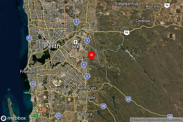
-32.108961Lesmurdie Suburb Map (Satellite)
Distances
The distance from Lesmurdie, Perth - South East, WA to AU Greater Capital CitiesSA1 Code 2011
50605114133SA1 Code 2016
50605114133SA2 Code
506051141SA3 Code
50605SA4 Code
506RA 2011
1RA 2016
1MMM 2015
1MMM 2019
1Charge Zone
W1LGA Region
ArmadaleLGA Code
50210Electorate
Hasluck