The Vines Area, The Vines Postcode(6069) & Map in The Vines, Perth - North East, WA
The Vines Area, The Vines Postcode(6069) & Map in The Vines, Perth - North East, WA, AU, Postcode: 6069
The Vines, The Vines, Swan, Perth - North East, Western Australia, Australia, 6069
The Vines Postcode
Area Name
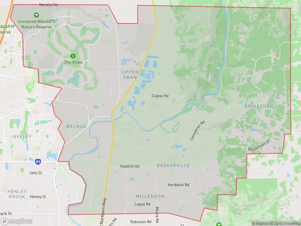
The VinesThe Vines Suburb Area Map (Polygon)
The Vines Introduction
The Vines is a rock band from Perth, Western Australia, formed in 1994. They gained popularity with their debut album 'Highway to Hell' and have since released several successful albums. The band's music is characterized by a blend of alternative rock, punk, and hard rock.State Name
City or Big Region
District or Regional Area
Suburb Name
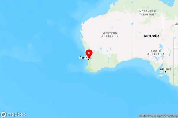
The Vines Region Map
Country
Main Region in AU
R2Coordinates
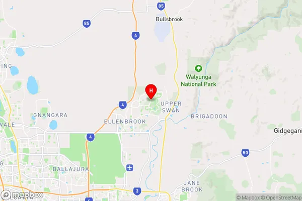
-31.7582783,116.0024569 (latitude/longitude)The Vines Area Map (Street)
Longitude
116.007663Latitude
-31.771612The Vines Elevation
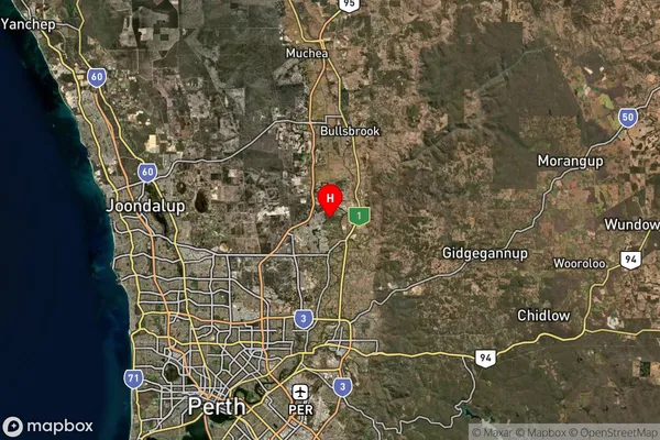
about 29.52 meters height above sea level (Altitude)The Vines Suburb Map (Satellite)
Distances
The distance from The Vines, Perth - North East, WA to AU Greater Capital CitiesSA1 Code 2011
50403106802SA1 Code 2016
50403106802SA2 Code
504031068SA3 Code
50403SA4 Code
504RA 2011
1RA 2016
1MMM 2015
1MMM 2019
1Charge Zone
W1LGA Region
SwanLGA Code
58050Electorate
Pearce