Bunbury Area, Bunbury Postcode(6230) & Map in Bunbury, Bunbury, WA
Bunbury Area, Bunbury Postcode(6230) & Map in Bunbury, Bunbury, WA, AU, Postcode: 6230
Bunbury, South Bunbury - Bunbury, Bunbury, Bunbury, Western Australia, Australia, 6230
Bunbury Postcode
Area Name
BunburyBunbury Suburb Area Map (Polygon)

Bunbury Introduction
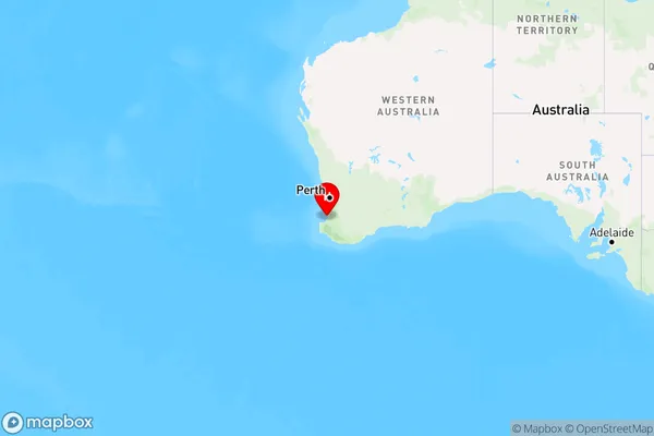
Bunbury is a coastal city in Western Australia, located approximately 170 km south of Perth. It is known for its beautiful beaches, including Bunbury Beach and Back Beach, as well as its vibrant arts and culture scene. The city is home to a number of museums, galleries, and theaters, as well as a variety of restaurants and cafes. Bunbury is also a popular destination for tourists, with many visitors coming to enjoy the city's natural beauty and outdoor activities.State Name
City or Big Region
District or Regional Area
Suburb Name
Bunbury Region Map
Country
Main Region in AU
R3Coordinates
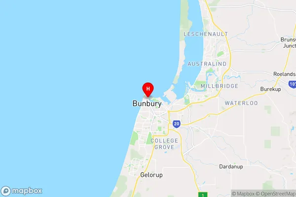
-33.3209971,115.6383482 (latitude/longitude)Bunbury Area Map (Street)
Longitude
115.649205Latitude
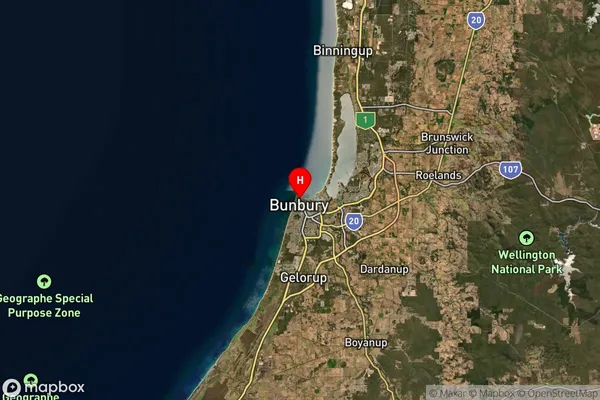
-33.341076Bunbury Suburb Map (Satellite)
Distances
The distance from Bunbury, Bunbury, WA to AU Greater Capital CitiesSA1 Code 2011
50102100609SA1 Code 2016
50102125315SA2 Code
501021253SA3 Code
50102SA4 Code
501RA 2011
2RA 2016
2MMM 2015
2MMM 2019
2Charge Zone
W2LGA Region
BunburyLGA Code
51190Electorate
Forrest