Olary Area, Olary Postcode(5440) & Map in Olary, South Australia - Outback, SA
Olary Area, Olary Postcode(5440) & Map in Olary, South Australia - Outback, SA, AU, Postcode: 5440
Olary, Outback, Outback - North and East, South Australia - Outback, South Australia, Australia, 5440
Olary Postcode
Area Name
OlaryOlary Suburb Area Map (Polygon)

Olary Introduction
Olary is a small town in South Australia's Outback, located on the banks of the Olary Creek. It is known for its mining industry, particularly for gold and uranium. The town has a population of around 1,000 people and offers a range of services and amenities, including a hotel, a general store, and a school.State Name
City or Big Region
District or Regional Area
Suburb Name
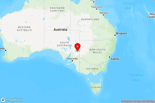
Olary Region Map
Country
Main Region in AU
R3Coordinates
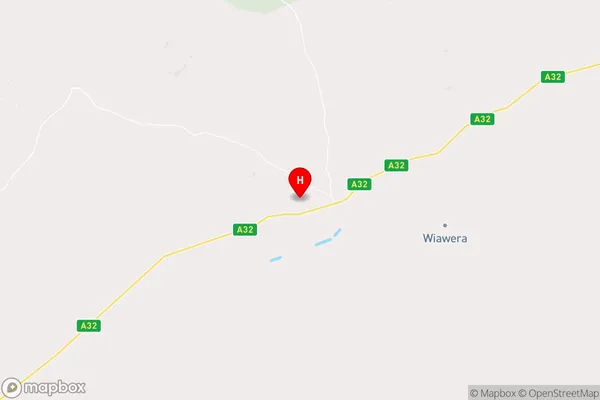
-32.2793495,140.3036182 (latitude/longitude)Olary Area Map (Street)
Longitude
140.027346Latitude
-32.339759Olary Elevation
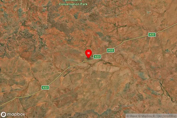
about 352.21 meters height above sea level (Altitude)Olary Suburb Map (Satellite)
Distances
The distance from Olary, South Australia - Outback, SA to AU Greater Capital CitiesSA1 Code 2011
40602114108SA1 Code 2016
40602114110SA2 Code
406021141SA3 Code
40602SA4 Code
406RA 2011
4RA 2016
4MMM 2015
6MMM 2019
6Charge Zone
S2LGA Region
PeterboroughLGA Code
45540Electorate
Grey