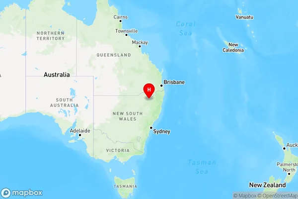
Delungra Area, Delungra Postcode(2403) & Map in Delungra, New England and North West, NSW
Delungra Area, Delungra Postcode(2403) & Map in Delungra, New England and North West, NSW, AU, Postcode: 2403
Delungra, Inverell Region - West, Inverell - Tenterfield, New England and North West, New South Wales, Australia, 2403
Delungra Postcode
Area Name
DelungraDelungra Suburb Area Map (Polygon)

Delungra Introduction
Delungra is a small town in New England and North West NSW. It is situated on the banks of the Macleay River and is known for its beautiful scenery, including the Delungra Forest and the Mount Werong State Conservation Area. The town has a population of around 1,000 people and is a popular destination for outdoor activities such as hiking, fishing, and camping. It is also home to the Delungra Cheese Factory, which produces a range of cheese products using milk from local cows.State Name
City or Big Region
District or Regional Area
Suburb Name
Delungra Region Map

Country
Main Region in AU
R3Coordinates
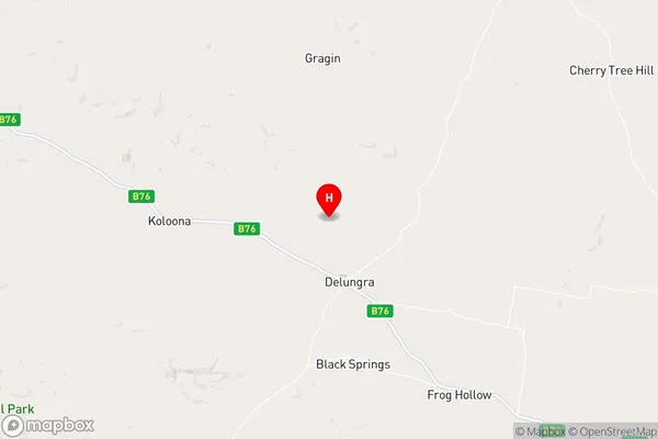
-29.6196616,150.8195083 (latitude/longitude)Delungra Area Map (Street)

Longitude
150.787333Latitude
-29.620234Delungra Elevation
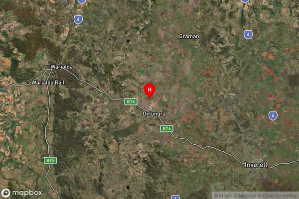
about 579.17 meters height above sea level (Altitude)Delungra Suburb Map (Satellite)

Distances
The distance from Delungra, New England and North West, NSW to AU Greater Capital CitiesSA1 Code 2011
11002119308SA1 Code 2016
11002119308SA2 Code
110021193SA3 Code
11002SA4 Code
110RA 2011
3RA 2016
3MMM 2015
5MMM 2019
5Charge Zone
N2LGA Region
GwydirLGA Code
13660Electorate
Parkes