Port Arthur Area, Port Arthur Postcode(5572) & Map in Port Arthur, Barossa - Yorke - Mid North, SA
Port Arthur Area, Port Arthur Postcode(5572) & Map in Port Arthur, Barossa - Yorke - Mid North, SA, AU, Postcode: 5572
Port Arthur, Yorke Peninsula - North, Yorke Peninsula, Barossa - Yorke - Mid North, South Australia, Australia, 5572
Port Arthur Postcode
Area Name
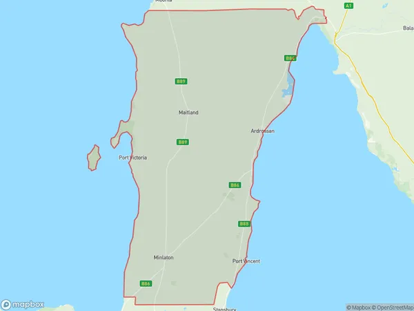
Port ArthurPort Arthur Suburb Area Map (Polygon)
Port Arthur Introduction
Port Arthur is a historic site in South Australia, known for its convict prison and associated ruins. It is located in the Barossa - Yorke - Mid North region and offers tours, accommodation, and dining options.State Name
City or Big Region
District or Regional Area
Suburb Name
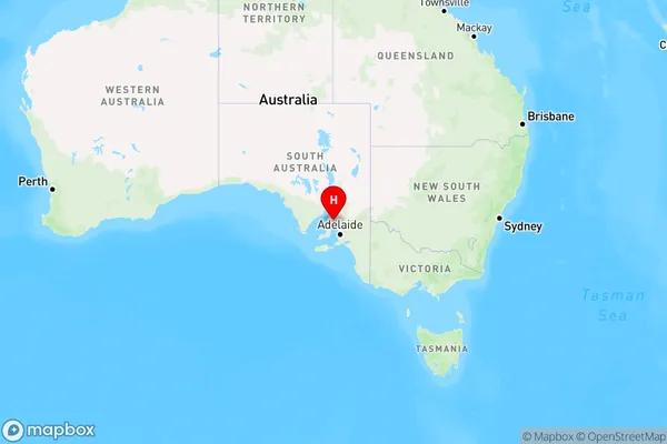
Port Arthur Region Map
Country
Main Region in AU
R3Coordinates
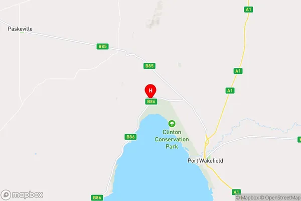
-34.1172509,138.0802693 (latitude/longitude)Port Arthur Area Map (Street)
Longitude
137.812526Latitude
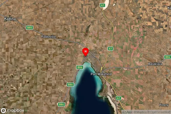
-34.237139Port Arthur Suburb Map (Satellite)
Distances
The distance from Port Arthur, Barossa - Yorke - Mid North, SA to AU Greater Capital CitiesSA1 Code 2011
40504112713SA1 Code 2016
40504112713SA2 Code
405041127SA3 Code
40504SA4 Code
405RA 2011
3RA 2016
3MMM 2015
5MMM 2019
5Charge Zone
S2LGA Region
Copper CoastLGA Code
41560Electorate
Grey