Eulah Creek Area, Eulah Creek Postcode(2390) & Map in Eulah Creek, New England and North West, NSW
Eulah Creek Area, Eulah Creek Postcode(2390) & Map in Eulah Creek, New England and North West, NSW, AU, Postcode: 2390
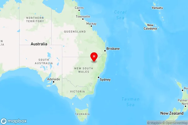
Eulah Creek, Narrabri Region, Moree - Narrabri, New England and North West, New South Wales, Australia, 2390
Eulah Creek Postcode
Area Name
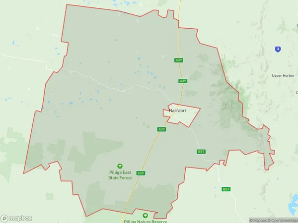
Eulah CreekEulah Creek Suburb Area Map (Polygon)

Eulah Creek Introduction
Eulah Creek is a locality in the Macleay Valley region of New South Wales, Australia. It is located about 450 kilometers north of Sydney and 65 kilometers south of Kempsey. The town is situated on the banks of the Eulah Creek and is surrounded by lush forests and farmland. The area has a rich history, with evidence of early European settlement dating back to the 1830s. The town has a primary school, a general store, and a community hall. The nearby Eulah Mountain National Park offers a range of outdoor activities, including hiking, camping, and fishing.State Name
City or Big Region
District or Regional Area
Suburb Name
Eulah Creek Region Map

Country
Main Region in AU
R3Coordinates
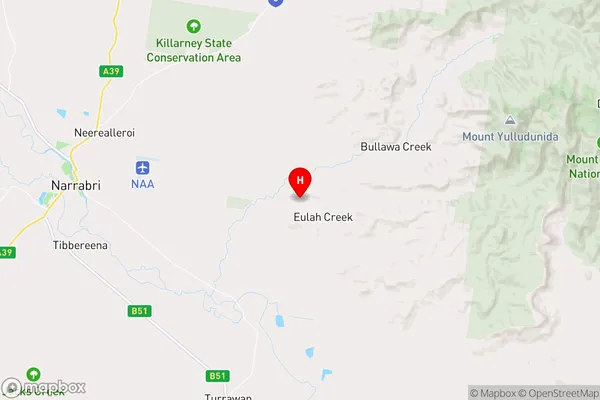
-30.3382339,149.9353395 (latitude/longitude)Eulah Creek Area Map (Street)

Longitude
149.767538Latitude
-30.413331Eulah Creek Elevation
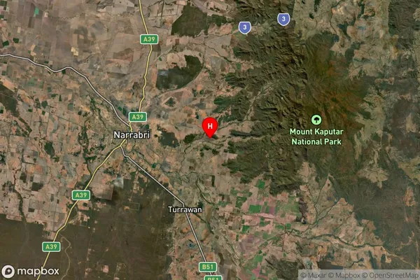
about 251.18 meters height above sea level (Altitude)Eulah Creek Suburb Map (Satellite)

Distances
The distance from Eulah Creek, New England and North West, NSW to AU Greater Capital CitiesSA1 Code 2011
11003119807SA1 Code 2016
11003119807SA2 Code
110031198SA3 Code
11003SA4 Code
110RA 2011
3RA 2016
3MMM 2015
5MMM 2019
5Charge Zone
N2LGA Region
NarrabriLGA Code
15750Electorate
Parkes