Nea Area, Nea Postcode(2381) & Map in Nea, New England and North West, NSW
Nea Area, Nea Postcode(2381) & Map in Nea, New England and North West, NSW, AU, Postcode: 2381
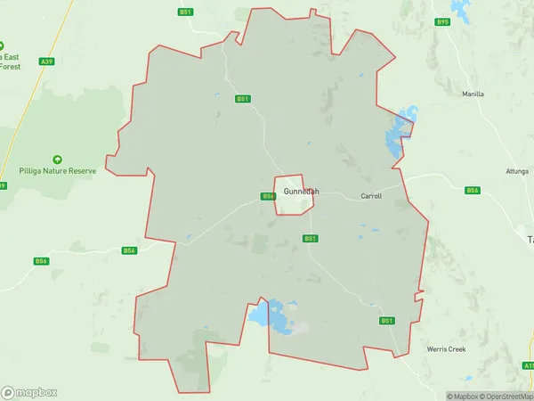
Nea, Gunnedah Region, Tamworth - Gunnedah, New England and North West, New South Wales, Australia, 2381
Nea Postcode
Area Name
NeaNea Suburb Area Map (Polygon)
Nea Introduction
Nea, New England and North West is a locality in the Macleay Valley region of New South Wales, Australia. It is located in the Mid-North Coast Council area and is about 450 kilometers north of Sydney. The town is named after the Nea River, which flows through it. Nea has a population of around 1,000 people and is known for its agricultural industry, including cotton farming and forestry. The town also has a historic railway station and a number of heritage-listed buildings.State Name
City or Big Region
District or Regional Area
Suburb Name
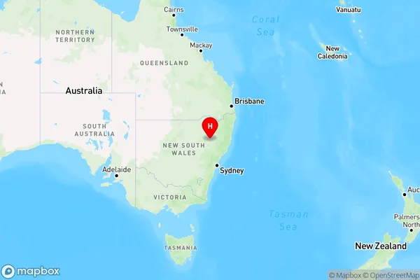
Nea Region Map
Country
Main Region in AU
R3Coordinates
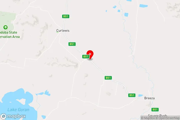
-31.1727,150.33 (latitude/longitude)Nea Area Map (Street)
Longitude
150.457901Latitude
-31.244175Nea Elevation
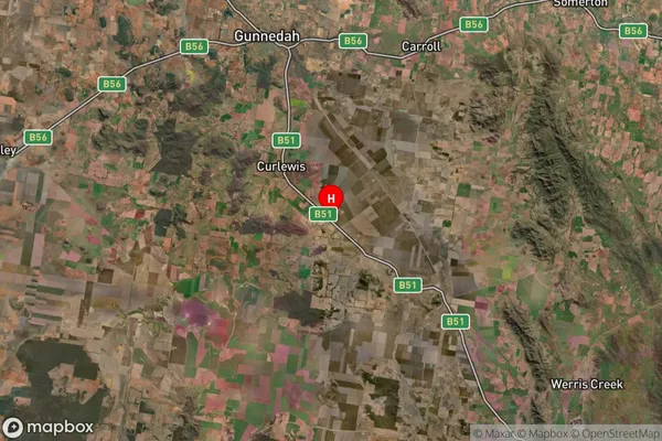
about 292.43 meters height above sea level (Altitude)Nea Suburb Map (Satellite)
Distances
The distance from Nea, New England and North West, NSW to AU Greater Capital CitiesSA1 Code 2011
11004120006SA1 Code 2016
11004120006SA2 Code
110041200SA3 Code
11004SA4 Code
110RA 2011
3RA 2016
3MMM 2015
5MMM 2019
5Charge Zone
N2LGA Region
GunnedahLGA Code
13550Electorate
Parkes