Abergowrie Area, Abergowrie Postcode(4850) & Map in Abergowrie, Townsville, QLD
Abergowrie Area, Abergowrie Postcode(4850) & Map in Abergowrie, Townsville, QLD, AU, Postcode: 4850
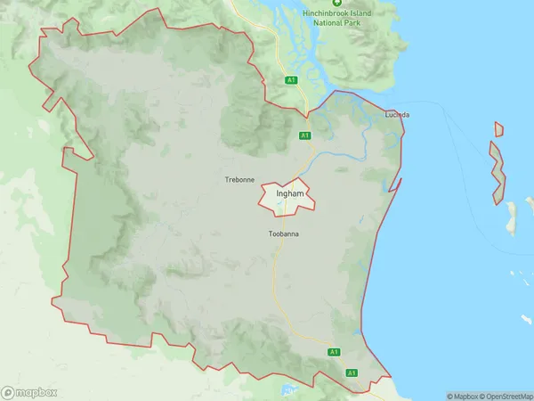
Abergowrie, Ingham Region, Charters Towers - Ayr - Ingham, Townsville, Queensland, Australia, 4850
Abergowrie Postcode
Area Name
AbergowrieAbergowrie Suburb Area Map (Polygon)
Abergowrie Introduction
Abergowrie is a suburb of Townsville, Queensland, Australia, located 11 kilometers southeast of the city center. It is known for its natural beauty, including the Abergowrie Conservation Park and the Ross River Dam. The suburb has a population of approximately 9,000 people and is home to a variety of amenities, including schools, shops, and recreational facilities.State Name
City or Big Region
District or Regional Area
Suburb Name
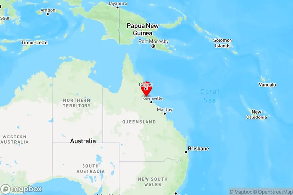
Abergowrie Region Map
Country
Main Region in AU
R3Coordinates
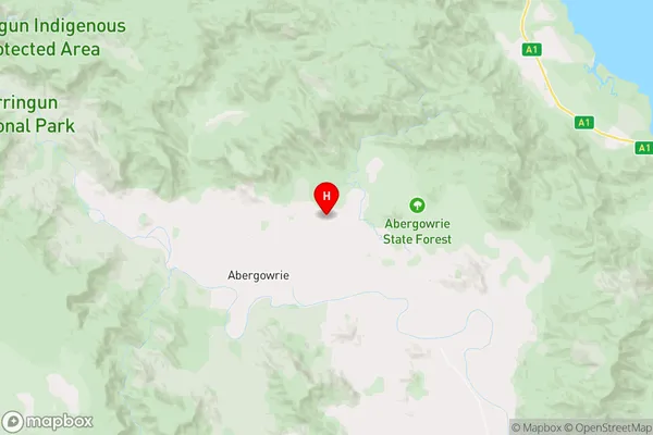
-18.4408136,145.9292659 (latitude/longitude)Abergowrie Area Map (Street)
Longitude
146.49572Latitude
-18.552533Abergowrie Elevation
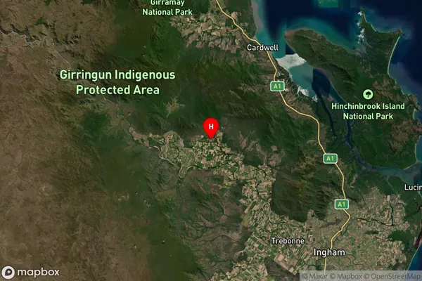
about 2.08 meters height above sea level (Altitude)Abergowrie Suburb Map (Satellite)
Distances
The distance from Abergowrie, Townsville, QLD to AU Greater Capital CitiesSA1 Code 2011
31801146517SA1 Code 2016
31801146517SA2 Code
318011465SA3 Code
31801SA4 Code
318RA 2011
4RA 2016
4MMM 2015
6MMM 2019
6Charge Zone
Q4LGA Region
Palm IslandLGA Code
35790Electorate
Kennedy