Basin Plain Area, Basin Plain Postcode(2380) & Map in Basin Plain, New England and North West, NSW
Basin Plain Area, Basin Plain Postcode(2380) & Map in Basin Plain, New England and North West, NSW, AU, Postcode: 2380
Basin Plain, Gunnedah Region, Tamworth - Gunnedah, New England and North West, New South Wales, Australia, 2380
Basin Plain Postcode
Area Name
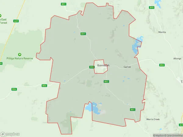
Basin PlainBasin Plain Suburb Area Map (Polygon)

Basin Plain Introduction
The Basin Plain is a large, flat area of land in New England and North West NSW, Australia. It is known for its rich agricultural soil and is a major producer of wheat, cotton, and other crops. The area is also home to a variety of wildlife, including kangaroos, wallabies, and emus. The Basin Plain is located between the Great Dividing Range and the Western Plains, and is drained by the Macquarie River and its tributaries.State Name
City or Big Region
District or Regional Area
Suburb Name
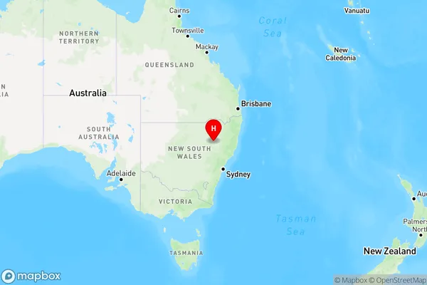
Basin Plain Region Map

Country
Main Region in AU
R3Coordinates
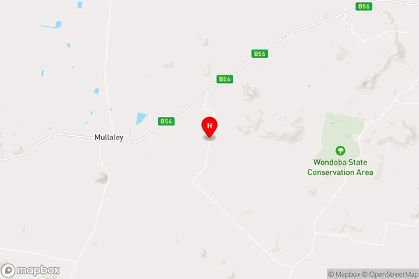
-31.0994,150.008 (latitude/longitude)Basin Plain Area Map (Street)

Longitude
150.199154Latitude
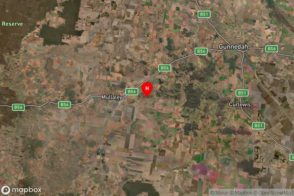
-31.046117Basin Plain Suburb Map (Satellite)

Distances
The distance from Basin Plain, New England and North West, NSW to AU Greater Capital CitiesSA1 Code 2011
11004120012SA1 Code 2016
11004120012SA2 Code
110041200SA3 Code
11004SA4 Code
110RA 2011
3RA 2016
3MMM 2015
5MMM 2019
5Charge Zone
N2LGA Region
GunnedahLGA Code
13550Electorate
Parkes