Outer Harbor Area, Outer Harbor Postcode(5018) & Map in Outer Harbor, Adelaide - West, SA
Outer Harbor Area, Outer Harbor Postcode(5018) & Map in Outer Harbor, Adelaide - West, SA, AU, Postcode: 5018
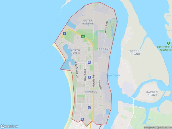
Outer Harbor, North Haven, Port Adelaide - West, Adelaide - West, South Australia, Australia, 5018
Outer Harbor Postcode
Area Name
Outer HarborOuter Harbor Suburb Area Map (Polygon)
Outer Harbor Introduction
Outer Harbor is a suburb of Adelaide, South Australia, located on the western shore of the Port River. It is known for its beaches, parks, and recreational facilities, including the Royal Adelaide Golf Club and the Adelaide Aquatic Centre.State Name
City or Big Region
District or Regional Area
Suburb Name
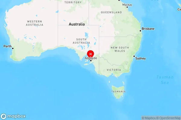
Outer Harbor Region Map
Country
Main Region in AU
R2Coordinates
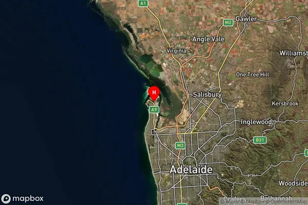
-34.781,138.501 (latitude/longitude)Outer Harbor Area Map (Street)
Not available for nowLongitude
138.49958Latitude
-34.779057Outer Harbor Suburb Map (Satellite)
Distances
The distance from Outer Harbor, Adelaide - West, SA to AU Greater Capital CitiesSA1 Code 2011
40402110022SA1 Code 2016
40402110022SA2 Code
404021100SA3 Code
40402SA4 Code
404RA 2011
1RA 2016
1MMM 2015
1MMM 2019
1Charge Zone
S1LGA Region
Port Adelaide EnfieldLGA Code
45890Electorate
Hindmarsh