Queenstown Area, Queenstown Postcode(5014) & Map in Queenstown, Adelaide - West, SA
Queenstown Area, Queenstown Postcode(5014) & Map in Queenstown, Adelaide - West, SA, AU, Postcode: 5014
Queenstown, Port Adelaide, Port Adelaide - West, Adelaide - West, South Australia, Australia, 5014
Queenstown Postcode
Area Name
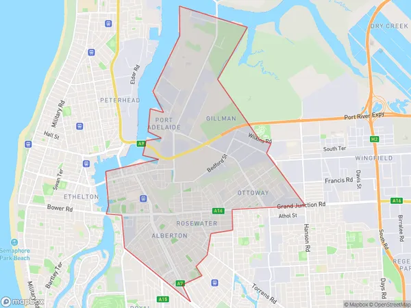
QueenstownQueenstown Suburb Area Map (Polygon)
Queenstown Introduction
Queenstown is a suburb of Adelaide, South Australia, located 12 km west of the city center. It is known for its scenic beauty, including the nearby Mount Lofty Ranges and the Onkaparinga River. The suburb has a population of approximately 10,000 people and is home to a variety of businesses, including wineries, restaurants, and hotels.State Name
City or Big Region
District or Regional Area
Suburb Name
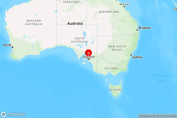
Queenstown Region Map
Country
Main Region in AU
R2Coordinates
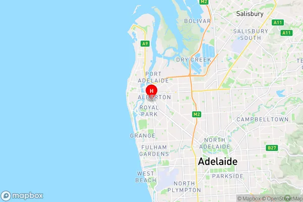
-34.8607571,138.5099711 (latitude/longitude)Queenstown Area Map (Street)
Longitude
138.509247Latitude
-34.86475Queenstown Elevation
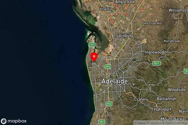
about 2.53 meters height above sea level (Altitude)Queenstown Suburb Map (Satellite)
Distances
The distance from Queenstown, Adelaide - West, SA to AU Greater Capital CitiesSA1 Code 2011
40402110124SA1 Code 2016
40402110124SA2 Code
404021101SA3 Code
40402SA4 Code
404RA 2011
1RA 2016
1MMM 2015
1MMM 2019
1Charge Zone
S1LGA Region
Charles SturtLGA Code
41060Electorate
Hindmarsh