Brownlow Hill Area, Brownlow Hill Postcode(2570) & Map in Brownlow Hill, Sydney - Outer South West, NSW
Brownlow Hill Area, Brownlow Hill Postcode(2570) & Map in Brownlow Hill, Sydney - Outer South West, NSW, AU, Postcode: 2570
Brownlow Hill, The Oaks - Oakdale, Wollondilly, Sydney - Outer South West, New South Wales, Australia, 2570
Brownlow Hill Postcode
Area Name
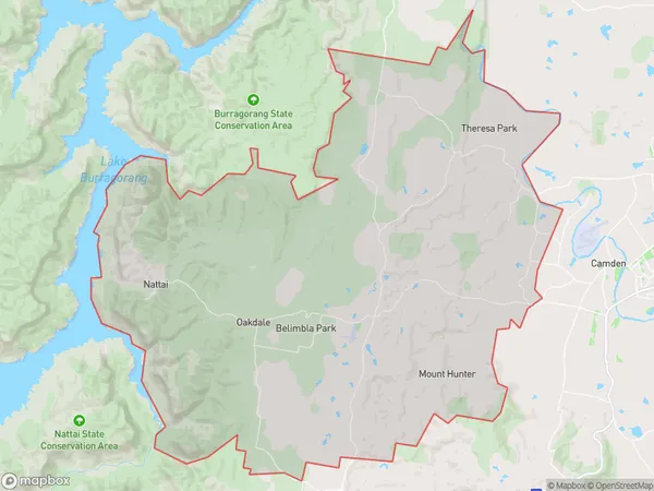
Brownlow HillBrownlow Hill Suburb Area Map (Polygon)

Brownlow Hill Introduction
Brownlow Hill is a suburb in the Southern Highlands of New South Wales, Australia. It is located in the City of Campbelltown and is part of the Macarthur region. The suburb is named after John Brownlow, who was a convict transported to Australia in 1788. Brownlow Hill is known for its scenic views, particularly of the Blue Mountains. It is home to a number of parks and recreational facilities, including Brownlow Hill Reserve and Brownlow Hill Public School. The suburb is also well-connected to Sydney, with easy access to the M4 motorway.State Name
City or Big Region
District or Regional Area
Suburb Name
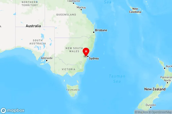
Brownlow Hill Region Map

Country
Main Region in AU
R1Coordinates
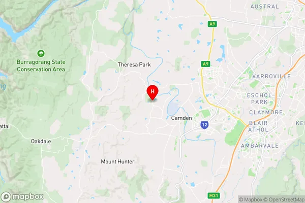
-34.0348,150.657 (latitude/longitude)Brownlow Hill Area Map (Street)

Longitude
150.525292Latitude
-34.042913Brownlow Hill Elevation
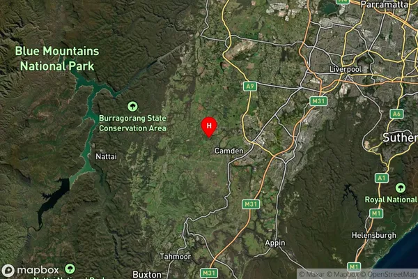
about 352.14 meters height above sea level (Altitude)Brownlow Hill Suburb Map (Satellite)

Distances
The distance from Brownlow Hill, Sydney - Outer South West, NSW to AU Greater Capital CitiesSA1 Code 2011
12303144813SA1 Code 2016
12303144813SA2 Code
123031448SA3 Code
12303SA4 Code
123RA 2011
1RA 2016
1MMM 2015
1MMM 2019
1Charge Zone
N1LGA Region
WollondillyLGA Code
18400Electorate
Macarthur