Belimbla Park Area, Belimbla Park Postcode(2570) & Map in Belimbla Park, Sydney - Outer South West, NSW
Belimbla Park Area, Belimbla Park Postcode(2570) & Map in Belimbla Park, Sydney - Outer South West, NSW, AU, Postcode: 2570
Belimbla Park, The Oaks - Oakdale, Wollondilly, Sydney - Outer South West, New South Wales, Australia, 2570
Belimbla Park Postcode
Area Name
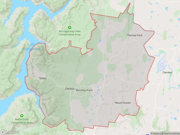
Belimbla ParkBelimbla Park Suburb Area Map (Polygon)

Belimbla Park Introduction
Belimbla Park is a large park located in the Sydney suburb of Werrington County. It features a variety of facilities, including a playground, sports fields, and a picnic area. The park is also home to a number of endangered species, including the Eastern grey kangaroo and the Powerful owl.State Name
City or Big Region
District or Regional Area
Suburb Name
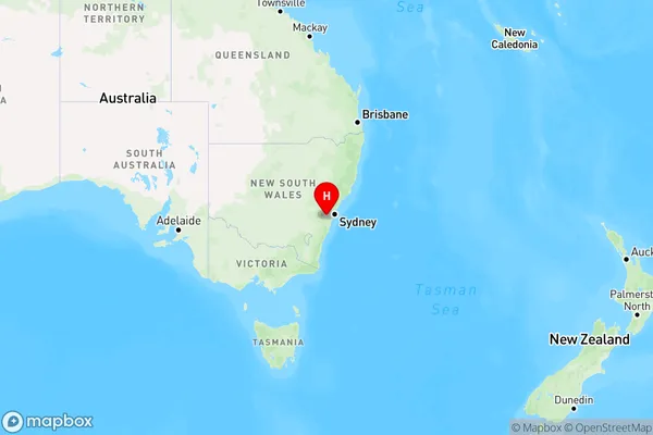
Belimbla Park Region Map

Country
Main Region in AU
R1Coordinates
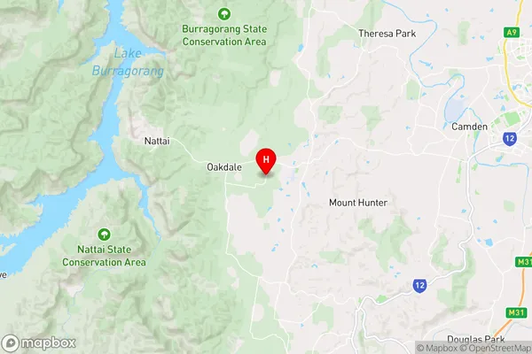
-34.0856753,150.5385422 (latitude/longitude)Belimbla Park Area Map (Street)

Longitude
150.525292Latitude
-34.042913Belimbla Park Elevation
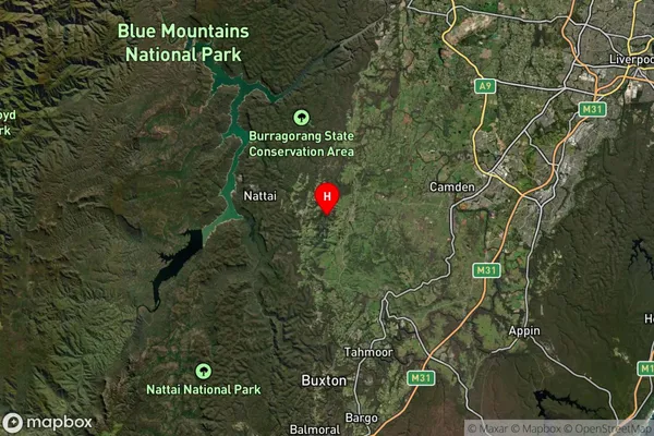
about 352.14 meters height above sea level (Altitude)Belimbla Park Suburb Map (Satellite)

Distances
The distance from Belimbla Park, Sydney - Outer South West, NSW to AU Greater Capital CitiesSA1 Code 2011
12303144805SA1 Code 2016
12303144805SA2 Code
123031448SA3 Code
12303SA4 Code
123RA 2011
2RA 2016
2MMM 2015
2MMM 2019
2Charge Zone
N1LGA Region
WollondillyLGA Code
18400Electorate
Macarthur