Ingleburn Area, Ingleburn Postcode(2565) & Map in Ingleburn, Sydney - Outer South West, NSW
Ingleburn Area, Ingleburn Postcode(2565) & Map in Ingleburn, Sydney - Outer South West, NSW, AU, Postcode: 2565
Ingleburn, Ingleburn - Denham Court, Campbelltown (NSW), Sydney - Outer South West, New South Wales, Australia, 2565
Ingleburn Postcode
Area Name
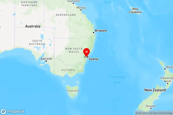
IngleburnIngleburn Suburb Area Map (Polygon)

Ingleburn Introduction
Ingleburn is a suburb in the southern suburbs of Sydney, in the state of New South Wales, Australia. It is located 30 kilometers southwest of the Sydney central business district and is part of the Macarthur region. Ingleburn is known for its large industrial area and is home to several major companies, including Coca-Cola Amatil, Nestle, and Toyota. The suburb also has a large population of migrant workers from Asia and the Middle East.State Name
City or Big Region
District or Regional Area
Suburb Name
Ingleburn Region Map

Country
Main Region in AU
R1Coordinates
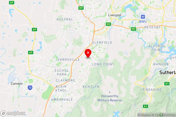
-34.0044124,150.8630229 (latitude/longitude)Ingleburn Area Map (Street)

Longitude
150.843761Latitude
-33.996063Ingleburn Elevation
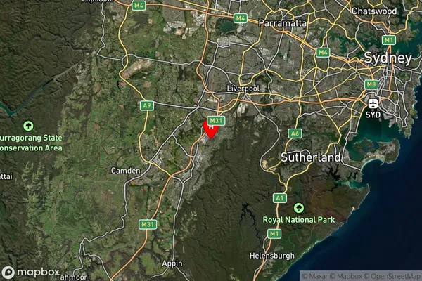
about 47.58 meters height above sea level (Altitude)Ingleburn Suburb Map (Satellite)

Distances
The distance from Ingleburn, Sydney - Outer South West, NSW to AU Greater Capital CitiesSA1 Code 2011
12302144036SA1 Code 2016
12302144036SA2 Code
123021440SA3 Code
12302SA4 Code
123RA 2011
1RA 2016
1MMM 2015
1MMM 2019
1Charge Zone
N1LGA Region
LiverpoolLGA Code
14900Electorate
Werriwa