Coles Bay Area, Coles Bay Postcode(7215) & Map in Coles Bay, South East, TAS
Coles Bay Area, Coles Bay Postcode(7215) & Map in Coles Bay, South East, TAS, AU, Postcode: 7215
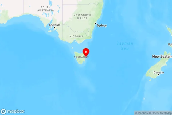
Coles Bay, Triabunna - Bicheno, South East Coast, South East, Tasmania, Australia, 7215
Coles Bay Postcode
Area Name
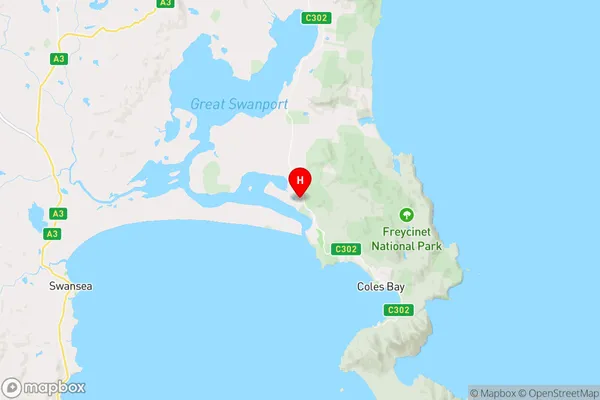
Coles BayColes Bay Suburb Area Map (Polygon)

Coles Bay Introduction
Coles Bay is a small town located on the east coast of Tasmania, Australia. It is known for its beautiful beaches, including Wineglass Bay, which is considered one of the world's top 10 beaches. The town is also home to the Freycinet National Park, which offers hiking trails, wildlife viewing, and stunning coastal views.State Name
City or Big Region
District or Regional Area
Suburb Name
Coles Bay Region Map
Country
Main Region in AU
R3Coordinates
-42.0811078,148.2331598 (latitude/longitude)Coles Bay Area Map (Street)
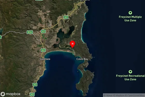
Longitude
148.281407Latitude
-42.314526Coles Bay Suburb Map (Satellite)
Distances
The distance from Coles Bay, South East, TAS to AU Greater Capital CitiesSA1 Code 2011
60303107407SA1 Code 2016
60303107407SA2 Code
603031074SA3 Code
60303SA4 Code
603RA 2011
4RA 2016
4MMM 2015
6MMM 2019
6Charge Zone
T1LGA Region
Glamorgan-Spring BayLGA Code
62410Electorate
Lyons