Mullingar Area, Mullingar Postcode(6430) & Map in Mullingar, Western Australia - Outback (South), WA
Mullingar Area, Mullingar Postcode(6430) & Map in Mullingar, Western Australia - Outback (South), WA, AU, Postcode: 6430
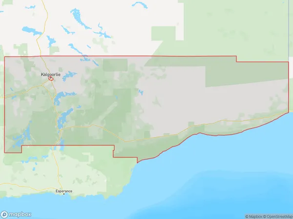
Mullingar, Kambalda - Coolgardie - Norseman, Goldfields, Western Australia - Outback (South), Western Australia, Australia, 6430
Mullingar Postcode
Area Name
MullingarMullingar Suburb Area Map (Polygon)
Mullingar Introduction
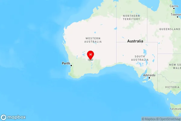
Mullingar is a small town in Western Australia's Outback (South) region, located 320 km southeast of the state capital, Perth. It is known for its rich history and cultural heritage, including the Mullingar Aboriginal Mission, which was established in 1910. The town has a population of around 1,000 people and is a popular destination for tourists seeking to experience the Outback's natural beauty and indigenous culture.State Name
City or Big Region
District or Regional Area
Suburb Name
Mullingar Region Map
Country
Main Region in AU
R3Coordinates
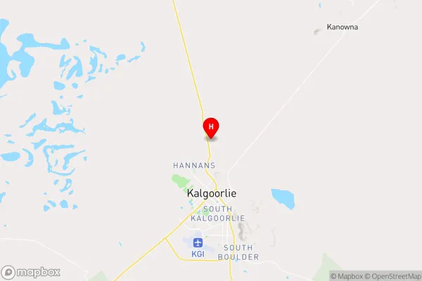
-30.7021273,121.4727791 (latitude/longitude)Mullingar Area Map (Street)
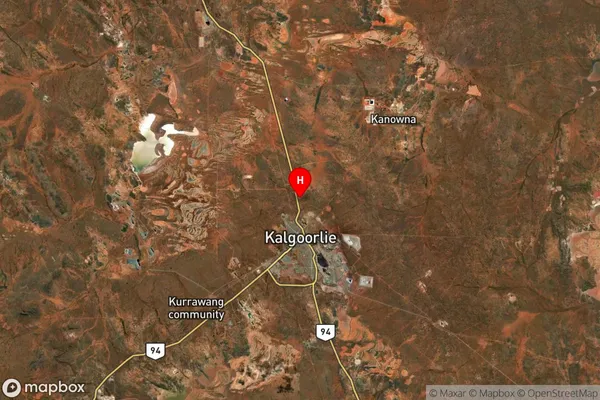
Longitude
121.446478Latitude
-30.599071Mullingar Suburb Map (Satellite)
Distances
The distance from Mullingar, Western Australia - Outback (South), WA to AU Greater Capital CitiesSA1 Code 2011
50803120206SA1 Code 2016
51103128202SA2 Code
511031282SA3 Code
51103SA4 Code
511RA 2011
5RA 2016
5MMM 2015
7MMM 2019
7Charge Zone
W2LGA Region
CoolgardieLGA Code
51960Electorate
Durack