Bernier Island Area, Bernier Island Postcode(6701) & Map in Bernier Island, Western Australia - Outback (South), WA
Bernier Island Area, Bernier Island Postcode(6701) & Map in Bernier Island, Western Australia - Outback (South), WA, AU, Postcode: 6701
Bernier Island, Exmouth, Gascoyne, Western Australia - Outback (South), Western Australia, Australia, 6701
Bernier Island Postcode
Area Name
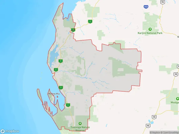
Bernier IslandBernier Island Suburb Area Map (Polygon)
Bernier Island Introduction
Bernier Island is a remote and isolated island located off the coast of Western Australia. It is part of the Outback (South) region of Western Australia and is known for its rugged landscapes, pristine beaches, and diverse wildlife. The island is home to a variety of bird species, including pelicans, seagulls, and terns, as well as kangaroos, emus, and wallabies. Visitors can explore the island's many walking trails, take a boat tour, or simply relax on the beach and soak up the sun.State Name
City or Big Region
District or Regional Area
Suburb Name
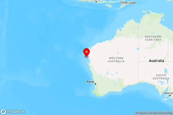
Bernier Island Region Map
Country
Main Region in AU
R3Coordinates
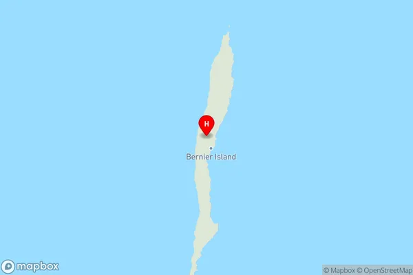
-24.8504267,113.1381998 (latitude/longitude)Bernier Island Area Map (Street)
Longitude
115.15198Latitude
-24.734545Bernier Island Elevation
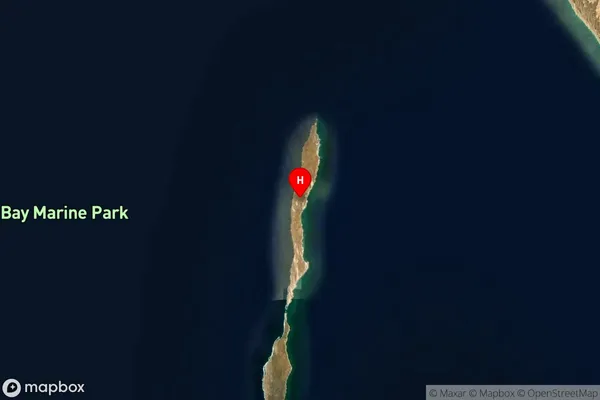
about 341.10 meters height above sea level (Altitude)Bernier Island Suburb Map (Satellite)
Distances
The distance from Bernier Island, Western Australia - Outback (South), WA to AU Greater Capital CitiesSA1 Code 2011
50802119714SA1 Code 2016
51102127704SA2 Code
511021277SA3 Code
51102SA4 Code
511RA 2011
5RA 2016
5MMM 2015
7MMM 2019
7Charge Zone
W3LGA Region
CarnarvonLGA Code
51540Electorate
Durack