Greenmantle Area, Greenmantle Postcode(2583) & Map in Greenmantle, Capital Region, NSW
Greenmantle Area, Greenmantle Postcode(2583) & Map in Greenmantle, Capital Region, NSW, AU, Postcode: 2583
Greenmantle, Goulburn Region, Goulburn - Mulwaree, Capital Region, New South Wales, Australia, 2583
Greenmantle Postcode
Area Name
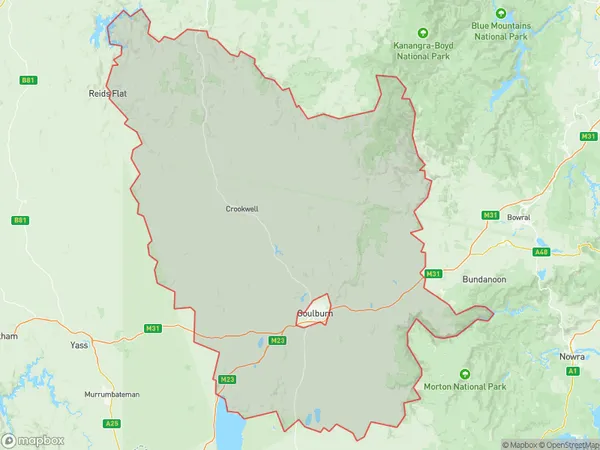
GreenmantleGreenmantle Suburb Area Map (Polygon)

Greenmantle Introduction
Greenmantle is a suburb in the City of Lake Macquarie of the Central Coast region of New South Wales, Australia. It is part of the Macquarie Hills district. Greenmantle is located 65 kilometers (40 mi) north of Sydney and 11 kilometers (6.8 mi) south of Newcastle.State Name
City or Big Region
District or Regional Area
Suburb Name
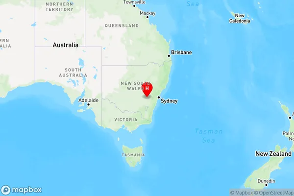
Greenmantle Region Map

Country
Main Region in AU
R3Coordinates
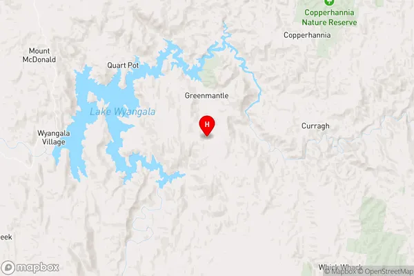
-33.966712,149.101463 (latitude/longitude)Greenmantle Area Map (Street)

Longitude
149.254163Latitude
-34.196526Greenmantle Elevation
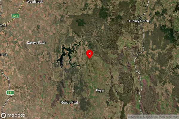
about 751.63 meters height above sea level (Altitude)Greenmantle Suburb Map (Satellite)

Distances
The distance from Greenmantle, Capital Region, NSW to AU Greater Capital CitiesSA1 Code 2011
10101100210SA1 Code 2016
10105154003SA2 Code
101051540SA3 Code
10105SA4 Code
101RA 2011
3RA 2016
3MMM 2015
5MMM 2019
5Charge Zone
N2LGA Region
Upper Lachlan ShireLGA Code
17640Electorate
Hume