Pardoo Area, Pardoo Postcode(6721) & Map in Pardoo, Western Australia - Outback (North), WA
Pardoo Area, Pardoo Postcode(6721) & Map in Pardoo, Western Australia - Outback (North), WA, AU, Postcode: 6721
Pardoo, East Pilbara, East Pilbara, Western Australia - Outback (North), Western Australia, Australia, 6721
Pardoo Postcode
Area Name
PardooPardoo Suburb Area Map (Polygon)

Pardoo Introduction
Pardoo Station is a cattle station in Western Australia's Pilbara region, known for its vastness and isolation. It is one of the largest cattle stations in the world, covering over 6,000 square kilometers. The station is home to a variety of wildlife, including kangaroos, emus, and camels, and offers a range of activities for visitors, including horseback riding, camel rides, and scenic flights.State Name
City or Big Region
District or Regional Area
Suburb Name
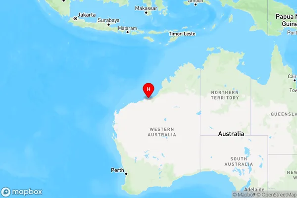
Pardoo Region Map
Country
Main Region in AU
R3Coordinates
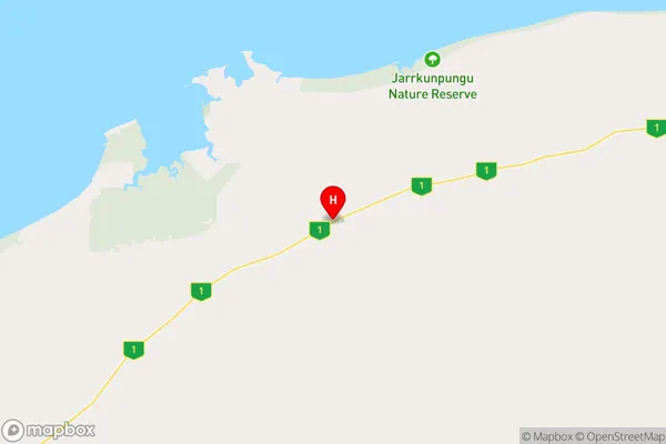
-20.0555823,119.8221878 (latitude/longitude)Pardoo Area Map (Street)
Longitude
118.441716Latitude
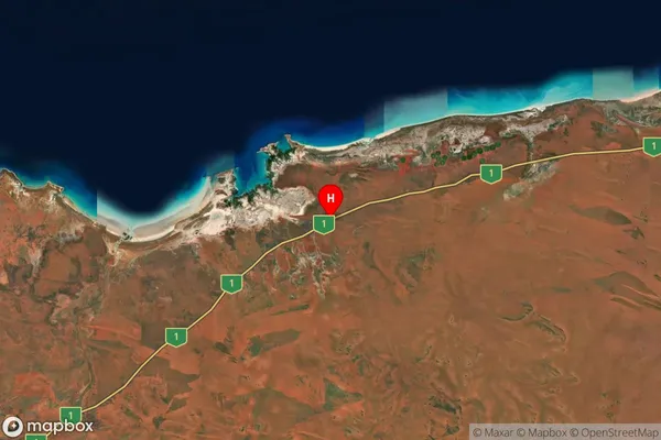
-20.710799Pardoo Suburb Map (Satellite)
Distances
The distance from Pardoo, Western Australia - Outback (North), WA to AU Greater Capital CitiesSA1 Code 2011
50806121916SA1 Code 2016
51002126705SA2 Code
510021267SA3 Code
51002SA4 Code
510RA 2011
5RA 2016
5MMM 2015
7MMM 2019
7Charge Zone
W3LGA Region
Port HedlandLGA Code
57280Electorate
Durack