Mauds Landing Area, Mauds Landing Postcode(6701) & Map in Mauds Landing, Western Australia - Outback (South), WA
Mauds Landing Area, Mauds Landing Postcode(6701) & Map in Mauds Landing, Western Australia - Outback (South), WA, AU, Postcode: 6701
Mauds Landing, Exmouth, Gascoyne, Western Australia - Outback (South), Western Australia, Australia, 6701
Mauds Landing Postcode
Area Name
Mauds LandingMauds Landing Suburb Area Map (Polygon)
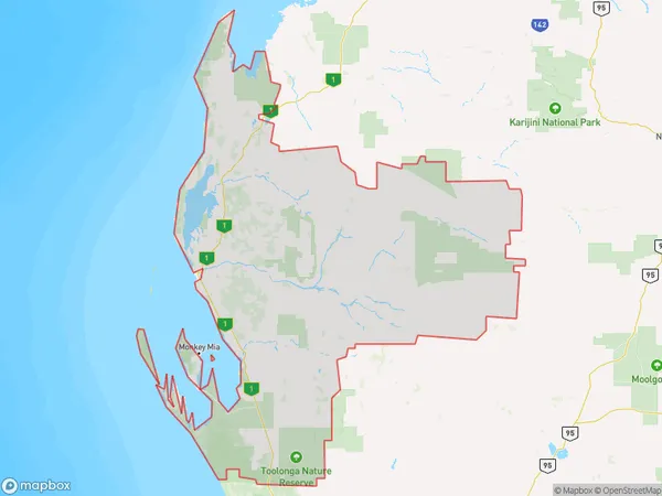
Mauds Landing Introduction
Mauds Landing is a remote outback town in Western Australia, located in the South. It is known for its rugged landscapes, including the nearby Bungle Bungle Range and the Gibb River Road. The town is a popular destination for tourists seeking adventure and nature experiences.State Name
City or Big Region
District or Regional Area
Suburb Name
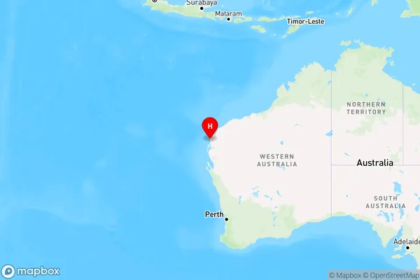
Mauds Landing Region Map
Country
Main Region in AU
R3Coordinates
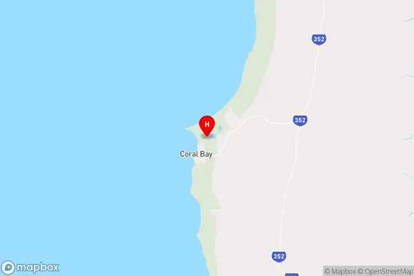
-23.1291,113.781 (latitude/longitude)Mauds Landing Area Map (Street)
Longitude
115.15198Latitude
-24.734545Mauds Landing Elevation
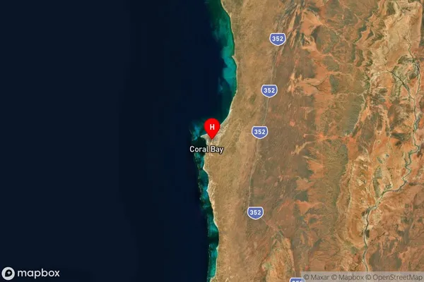
about 341.10 meters height above sea level (Altitude)Mauds Landing Suburb Map (Satellite)
Distances
The distance from Mauds Landing, Western Australia - Outback (South), WA to AU Greater Capital CitiesSA1 Code 2011
50802119714SA1 Code 2016
51102127704SA2 Code
511021277SA3 Code
51102SA4 Code
511RA 2011
5RA 2016
5MMM 2015
7MMM 2019
7Charge Zone
W3LGA Region
CarnarvonLGA Code
51540Electorate
Durack