Lyndon Area, Lyndon Postcode(6701) & Map in Lyndon, Western Australia - Outback (South), WA
Lyndon Area, Lyndon Postcode(6701) & Map in Lyndon, Western Australia - Outback (South), WA, AU, Postcode: 6701
Lyndon, Exmouth, Gascoyne, Western Australia - Outback (South), Western Australia, Australia, 6701
Lyndon Postcode
Area Name
LyndonLyndon Suburb Area Map (Polygon)
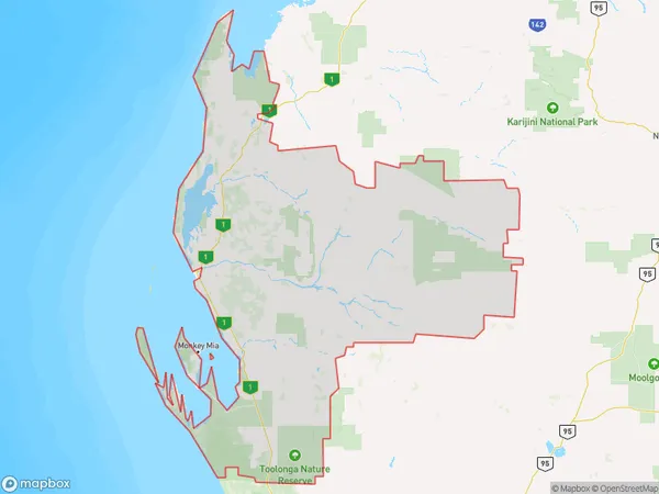
Lyndon Introduction
Lyndon is a small town in Western Australia's Outback (South) region, located 320 km north of Perth. It is known for its rich history, including the Lyndon Station, which was established in 1889. The town has a population of around 100 people and is a popular destination for tourists who want to experience the Australian Outback.State Name
City or Big Region
District or Regional Area
Suburb Name
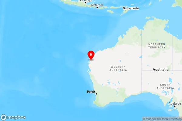
Lyndon Region Map
Country
Main Region in AU
R3Coordinates
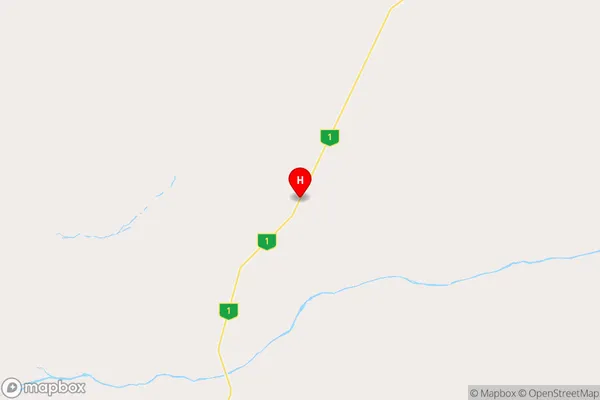
-23.3717748,114.3268509 (latitude/longitude)Lyndon Area Map (Street)
Longitude
115.15198Latitude
-24.734545Lyndon Elevation
about 341.10 meters height above sea level (Altitude)Lyndon Suburb Map (Satellite)
Not available for nowDistances
The distance from Lyndon, Western Australia - Outback (South), WA to AU Greater Capital CitiesSA1 Code 2011
50802119714SA1 Code 2016
51102127704SA2 Code
511021277SA3 Code
51102SA4 Code
511RA 2011
5RA 2016
5MMM 2015
7MMM 2019
7Charge Zone
W3LGA Region
CarnarvonLGA Code
51540Electorate
Durack