Rocky Hills Area, Rocky Hills Postcode(7190) & Map in Rocky Hills, South East, TAS
Rocky Hills Area, Rocky Hills Postcode(7190) & Map in Rocky Hills, South East, TAS, AU, Postcode: 7190
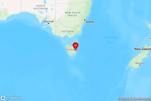
Rocky Hills, Triabunna - Bicheno, South East Coast, South East, Tasmania, Australia, 7190
Rocky Hills Postcode
Area Name
Rocky HillsRocky Hills Suburb Area Map (Polygon)

Rocky Hills Introduction
Rocky Hills is a suburb of Hobart, Tasmania, located in the southeast of the city. It is known for its scenic views, including the Mount Wellington Range and the Derwent River. The suburb has a population of approximately 10,000 people and is home to a variety of amenities, including schools, shops, and parks.State Name
City or Big Region
District or Regional Area
Suburb Name
Rocky Hills Region Map
Country
Main Region in AU
R3Coordinates
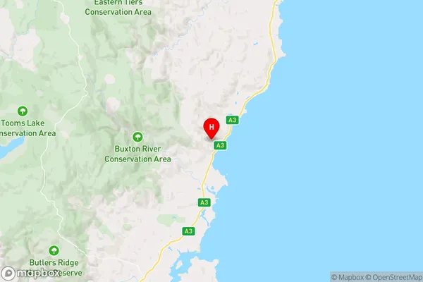
-42.2295172,148.0111717 (latitude/longitude)Rocky Hills Area Map (Street)
Longitude
148.091696Latitude
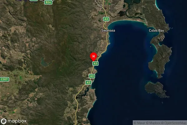
-42.62988Rocky Hills Suburb Map (Satellite)
Distances
The distance from Rocky Hills, South East, TAS to AU Greater Capital CitiesSA1 Code 2011
60303107420SA1 Code 2016
60303107420SA2 Code
603031074SA3 Code
60303SA4 Code
603RA 2011
3RA 2016
3MMM 2015
5MMM 2019
5Charge Zone
T1LGA Region
SorellLGA Code
64810Electorate
Lyons