Whakatu Suburbs & Region, Whakatu Map & Postcodes in Whakatu, Hastings, Hawkes Bay
Whakatu Postcodes, Whakatu ZipCodes, Whakatu , Whakatu Hawke's Bay, Whakatu Suburbs, Whakatu Region, Whakatu Map, Whakatu Area
Whakatu Region
Whakatu Suburbs
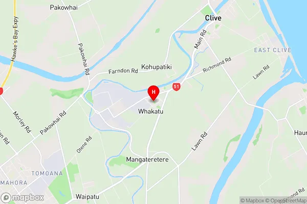
Whakatu is a suburb place type in Hastings, Hawkes Bay, NZ. It contains 0 suburbs or localities.Whakatu Region Map
Whakatu Introduction
Whakatu is a small rural community located in the Hawke's Bay region of New Zealand. It is situated on the banks of the Waihou River, approximately 30 kilometers south of Hastings. The community has a population of around 100 people and is known for its scenic surroundings, including rolling hills, farmland, and native forests. Whakatu is a popular destination for outdoor enthusiasts, with numerous hiking and cycling trails in the area. The community also has a small primary school and a community hall, which hosts regular events and gatherings.Whakatu Region
Whakatu City
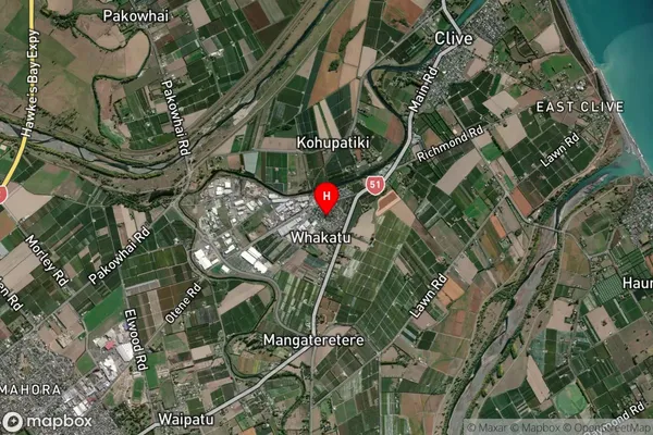
Whakatu Satellite Map
Full Address
Whakatu, Hastings, Hawkes BayWhakatu Coordinates
-39.604622,176.895472 (Latitude / Longitude)Whakatu Map in NZ
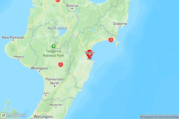
NZ Island
North IslandCountry
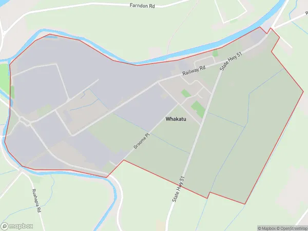
Whakatu Area Map (Polygon)
Name
WhakatuAdditional Name
Local Authority
Hastings District
Whakatu Suburbs (Sort by Population)
Whakatu suburb has around
4.5 square
kilometers.There are more than 732 people (estimated)
live in Whakatu, Hastings, Hawke's Bay, New Zealand.