Sherenden Suburbs & Region, Sherenden Map & Postcodes in Sherenden, Hastings, Hawkes Bay
Sherenden Postcodes, Sherenden ZipCodes, Sherenden , Sherenden Hawke's Bay, Sherenden Suburbs, Sherenden Region, Sherenden Map, Sherenden Area
Sherenden Region
Sherenden Suburbs
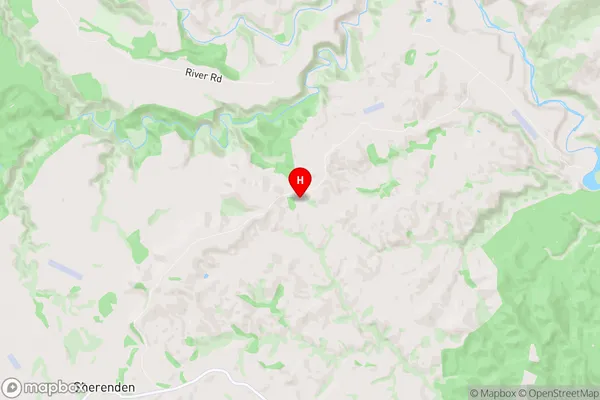
Sherenden is a suburb place type in Hastings, Hawkes Bay, NZ. It contains 0 suburbs or localities.Sherenden Region Map
Sherenden Introduction
Sherenden is a small rural town in Hawke's Bay, New Zealand, located on State Highway 2. It is known for its historic buildings, including the Sherenden Hotel, which was built in 1877. The town also has a primary school, a post office, and a community hall. Sherenden is surrounded by farmland and has a population of around 200 people. The area is popular for its scenic views and outdoor activities, including hiking, cycling, and fishing.Sherenden Region
Sherenden City
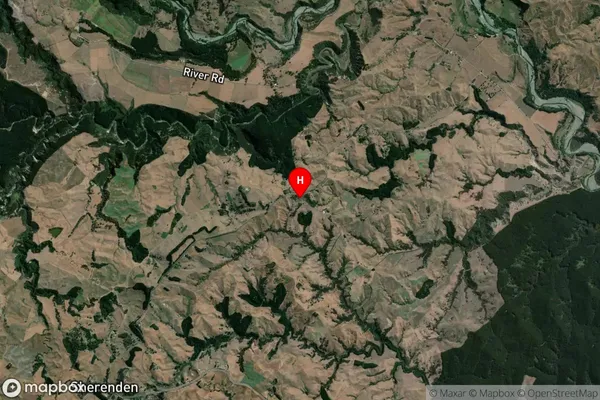
Sherenden Satellite Map
Full Address
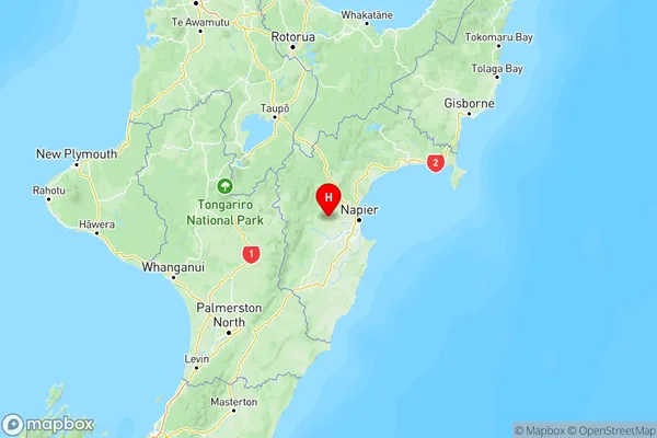
Sherenden, Hastings, Hawkes BaySherenden Coordinates
-39.479975,176.60873 (Latitude / Longitude)Sherenden Map in NZ
NZ Island
North IslandCountry
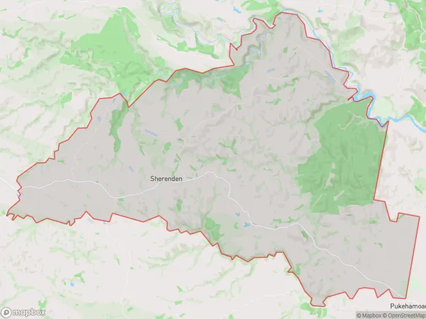
Sherenden Area Map (Polygon)
Name
SherendenAdditional Name
Local Authority
Hastings District
Sherenden Suburbs (Sort by Population)
Sherenden suburb has around
107.0 square
kilometers.There are more than 348 people (estimated)
live in Sherenden, Hastings, Hawke's Bay, New Zealand.