Taruheru Suburbs & Region, Taruheru Map & Postcodes in Taruheru, Gisborne, Gisborne
Taruheru Postcodes, Taruheru ZipCodes, Taruheru , Taruheru Gisborne, Taruheru Suburbs, Taruheru Region, Taruheru Map, Taruheru Area
Taruheru Region (Taruheru Region)
Taruheru Suburbs
Taruheru is a suburb place type in Gisborne, Gisborne, NZ. It contains 0 suburbs or localities.Taruheru Region Map
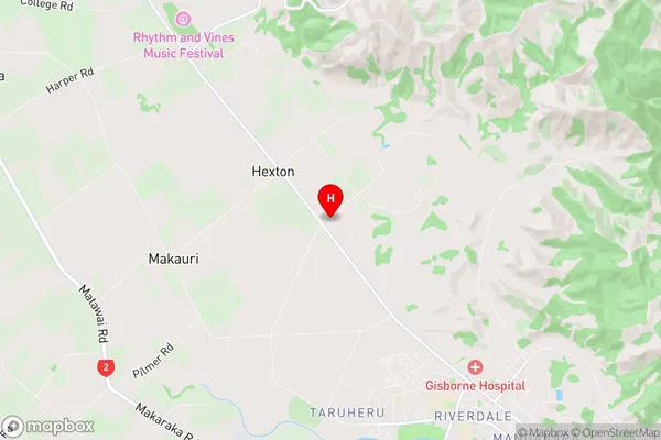
Taruheru Introduction
Taruheru is a small rural community located in the Gisborne region of New Zealand's North Island. It is situated on the banks of the Taruheru River and is known for its stunning natural scenery, including rolling hills, lush forests, and picturesque farmland. The community has a population of around 100 people and is home to a variety of businesses, including a primary school, a post office, and a small supermarket. Taruheru is a popular destination for outdoor enthusiasts, with many opportunities for hiking, fishing, and hunting. The area is also home to a number of historic buildings, including the Taruheru Marae, which is a significant cultural site for the local Māori people.Taruheru Region
Taruheru City
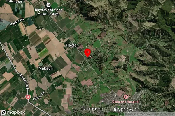
Taruheru Satellite Map
Full Address
Taruheru, Gisborne, GisborneTaruheru Coordinates
-38.6198991,177.9824489 (Latitude / Longitude)Taruheru Map in NZ
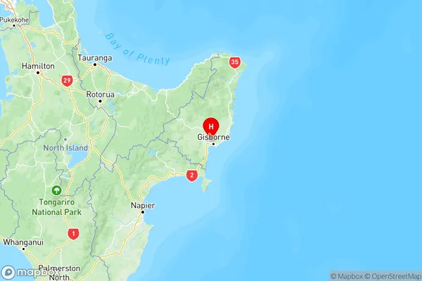
NZ Island
North IslandCountry
Taruheru Area Map (Polygon)
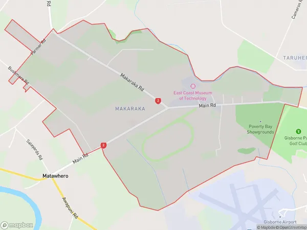
Name
MakarakaAdditional Name
TaruheruLocal Authority
Gisborne District
Taruheru Suburbs (Sort by Population)
Makaraka also known as Taruheru. Makaraka suburb has around
6.2 square
kilometers.There are more than 613 people (estimated)
live in Makaraka, Gisborne, Gisborne, New Zealand.