Outer Kaiti Suburbs & Region, Outer Kaiti Map & Postcodes in Outer Kaiti, Gisborne, Gisborne
Outer Kaiti Postcodes, Outer Kaiti ZipCodes, Outer Kaiti , Outer Kaiti Gisborne, Outer Kaiti Suburbs, Outer Kaiti Region, Outer Kaiti Map, Outer Kaiti Area
Outer Kaiti Region
Outer Kaiti Suburbs
Outer Kaiti is a suburb place type in Gisborne, Gisborne, NZ. It contains 0 suburbs or localities.Outer Kaiti Postcodes
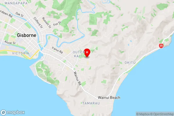
Outer Kaiti Region Map
Outer Kaiti Introduction
Outer Kaiti is a small rural community located in the Gisborne region of New Zealand's North Island. It is situated on the eastern coast of the North Island, approximately 120 kilometers east of Gisborne City and 30 kilometers west of Wairoa. The area is known for its scenic coastal landscapes, including beaches, cliffs, and forests. Outer Kaiti is home to a population of around 200 people, who primarily engage in farming and forestry. The community has a primary school, a post office, and a small supermarket. The area is also popular with tourists, who come to enjoy the natural beauty and outdoor activities such as hiking, fishing, and surfing.Outer Kaiti Region
Outer Kaiti City
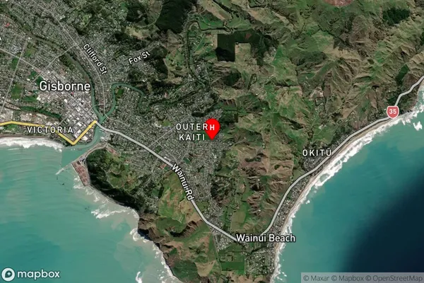
Outer Kaiti Satellite Map
Full Address
Outer Kaiti, Gisborne, GisborneOuter Kaiti Coordinates
-38.671839,178.056453 (Latitude / Longitude)Outer Kaiti Map in NZ
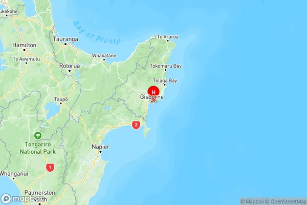
NZ Island
North IslandCountry
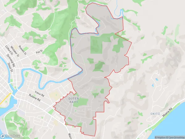
Outer Kaiti Area Map (Polygon)
Name
Outer KaitiAdditional Name
Local Authority
Gisborne District
Outer Kaiti Suburbs (Sort by Population)
Outer Kaiti suburb has around
6.2 square
kilometers.There are more than 4464 people (estimated)
live in Outer Kaiti, Gisborne, Gisborne, New Zealand.