Lytton West Suburbs & Region, Lytton West Map & Postcodes in Lytton West, Gisborne, Gisborne
Lytton West Postcodes, Lytton West ZipCodes, Lytton West , Lytton West Gisborne, Lytton West Suburbs, Lytton West Region, Lytton West Map, Lytton West Area
Lytton West Region
Lytton West Suburbs
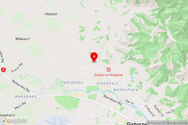
Lytton West is a suburb place type in Gisborne, Gisborne, NZ. It contains 0 suburbs or localities.Lytton West Region Map
Lytton West Introduction
Lytton West is a small rural community located in the Gisborne region of New Zealand's North Island. It is situated on the banks of the Lytton River, approximately 10 kilometers west of Gisborne city center. The community has a population of around 1,000 people and is known for its scenic surroundings, including rolling hills, farmland, and picturesque gardens. Lytton West has a primary school, a post office, a convenience store, and a community hall. The area is popular with outdoor enthusiasts, with many walking and hiking trails nearby. The community also hosts a annual agricultural show, which attracts visitors from around the region.Lytton West Region
Lytton West City
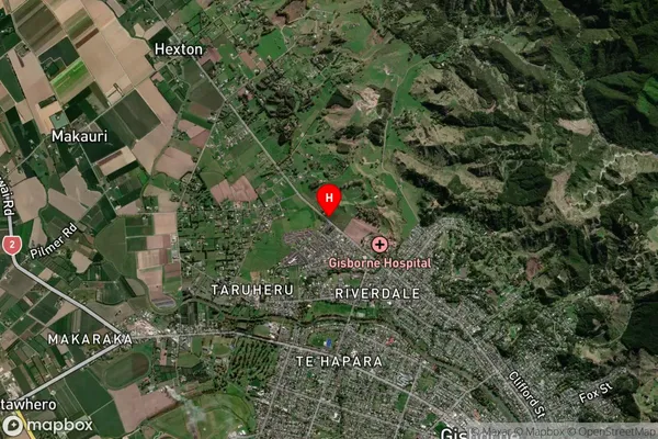
Lytton West Satellite Map
Full Address
Lytton West, Gisborne, GisborneLytton West Coordinates
-38.634799,177.997063 (Latitude / Longitude)Lytton West Map in NZ
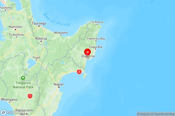
NZ Island
North IslandCountry
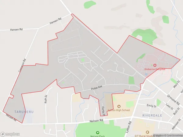
Lytton West Area Map (Polygon)
Name
Lytton WestAdditional Name
Local Authority
Gisborne District
Lytton West Suburbs (Sort by Population)
Lytton West suburb has around
1.6 square
kilometers.There are more than 1427 people (estimated)
live in Lytton West, Gisborne, Gisborne, New Zealand.