Awapuni Suburbs & Region, Awapuni Map & Postcodes in Awapuni, Gisborne, Gisborne
Awapuni Postcodes, Awapuni ZipCodes, Awapuni , Awapuni Gisborne, Awapuni Suburbs, Awapuni Region, Awapuni Map, Awapuni Area
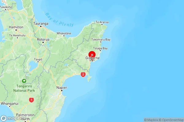
Awapuni Region (Linton Military Camp Region)
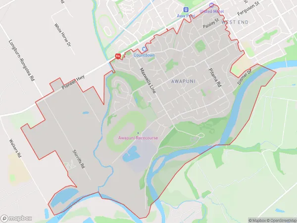
Awapuni Suburbs
Awapuni is a suburb place type in Gisborne, Gisborne, NZ. It contains 0 suburbs or localities.Awapuni Postcodes
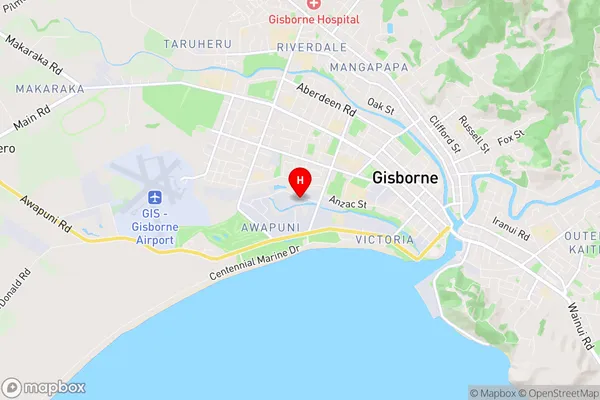
Awapuni Region Map
Awapuni Introduction
Awapuni is a small town in the Gisborne region of New Zealand, located on the eastern coast of the North Island. It is known for its rich agricultural heritage, with a large number of farms and vineyards in the area. The town also has a popular tourist attraction, the Awapuni Racecourse, which hosts regular horse racing events. The town has a population of around 5,000 people and is situated about 100 km east of Gisborne City.Awapuni Region
Awapuni City
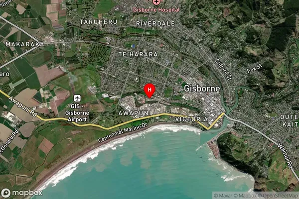
Awapuni Satellite Map
Full Address
Awapuni, Gisborne, GisborneAwapuni Coordinates
-38.664312,178.00263 (Latitude / Longitude)Awapuni Map in NZ
NZ Island
North IslandCountry
Awapuni Area Map (Polygon)
Name
AwapuniAdditional Name
Linton Military CampLocal Authority
Palmerston North City
Awapuni Suburbs (Sort by Population)
Awapuni also known as Linton Military Camp. Awapuni suburb has around
8.7 square
kilometers.There are more than 8501 people (estimated)
live in Awapuni, Palmerston North, Manawatu-Wanganui, New Zealand.