Puketaha Suburbs & Region, Puketaha Map & Postcodes in Puketaha, Waikato, Waikato
Puketaha Postcodes, Puketaha ZipCodes, Puketaha , Puketaha Waikato, Puketaha Suburbs, Puketaha Region, Puketaha Map, Puketaha Area
Puketaha Region (North Huntington Region)
Puketaha Suburbs
Puketaha is a suburb place type in Waikato, Waikato, NZ. It contains 0 suburbs or localities.Puketaha Postcodes
Puketaha district
WaikatoPuketaha Region Map
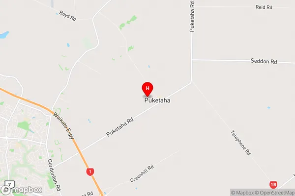
Puketaha Introduction
Puketaha, Waikato, New Zealand, is a small rural town located on the banks of the Waikato River. It is known for its beautiful natural surroundings, including the Puketaha Forest Park, which is a popular spot for hiking, biking, and picnicking. The town also has a historic village with a variety of shops and cafes, as well as a community hall and library. Puketaha is a popular destination for tourists and locals alike, with its peaceful atmosphere and close proximity to Hamilton and other major cities.Puketaha Region
Puketaha City
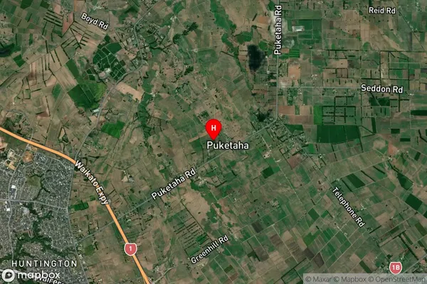
Puketaha Satellite Map
Full Address
Puketaha, Waikato, WaikatoPuketaha Coordinates
-37.719532,175.322594 (Latitude / Longitude)Puketaha Map in NZ
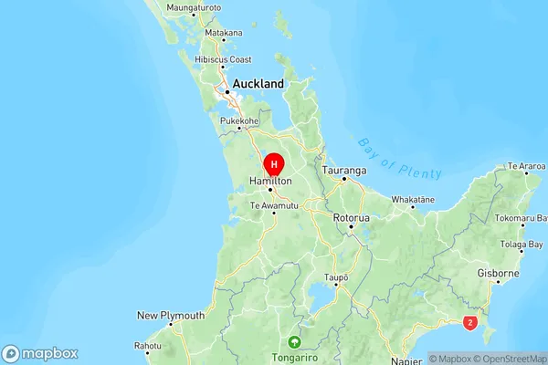
NZ Island
North IslandCountry
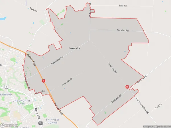
Puketaha Area Map (Polygon)
Name
PuketahaAdditional Name
North HuntingtonLocal Authority
Waikato District
Puketaha Suburbs (Sort by Population)
Puketaha also known as North Huntington. Puketaha suburb has around
47.8 square
kilometers.There are more than 1139 people (estimated)
live in Puketaha, Hamilton, Waikato, New Zealand.