Orini Suburbs & Region, Orini Map & Postcodes in Orini, Waikato, Waikato
Orini Postcodes, Orini ZipCodes, Orini , Orini Waikato, Orini Suburbs, Orini Region, Orini Map, Orini Area
Orini Region (Mangawara Region)
Orini Suburbs
Orini is a suburb place type in Waikato, Waikato, NZ. It contains 1 suburbs or localities.Orini Postcodes
Orini district
WaikatoOrini Region Map
Orini Introduction
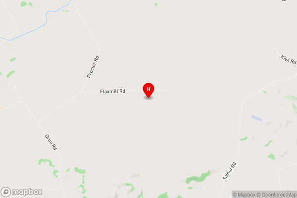
Orini is a small rural community in the Waikato region of New Zealand. It is located on State Highway 1, approximately 30 kilometers south of Hamilton. The community has a population of around 100 people and is known for its scenic rural surroundings and historic buildings. The area was first settled by Māori in the 13th century and was later developed as a farming community. Today, Orini is a popular destination for tourists who enjoy hiking, fishing, and exploring the local wildlife. The community has a primary school, a post office, and a small supermarket.Orini Region
Orini City
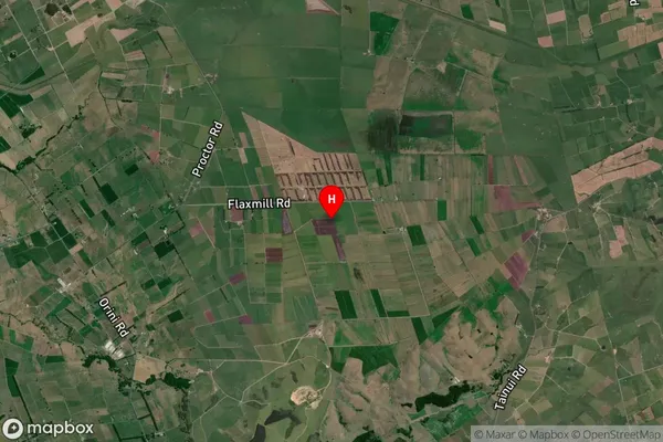
Orini Satellite Map
Full Address
Orini, Waikato, WaikatoOrini Coordinates
-37.552597,175.366097 (Latitude / Longitude)Orini Map in NZ
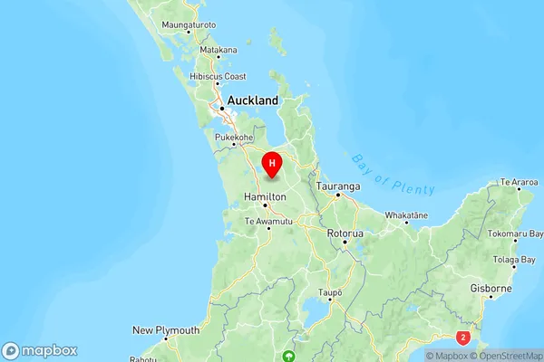
NZ Island
North IslandCountry
Orini Area Map (Polygon)
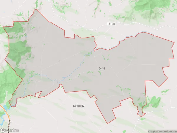
Name
OriniAdditional Name
MangawaraLocal Authority
Waikato District
Orini Suburbs (Sort by Population)
Orini
Orini - 664