Horotiu Suburbs & Region, Horotiu Map & Postcodes in Horotiu, Waikato, Waikato
Horotiu Postcodes, Horotiu ZipCodes, Horotiu , Horotiu Waikato, Horotiu Suburbs, Horotiu Region, Horotiu Map, Horotiu Area
Horotiu Region (Pukete Industrial Region)
Horotiu Suburbs
Horotiu is a suburb place type in Waikato, Waikato, NZ. It contains 0 suburbs or localities.Horotiu Postcodes
Horotiu district
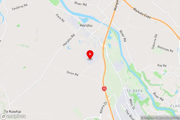
WaikatoHorotiu Region Map
Horotiu Introduction
Horotiu is a small town in the Waikato region of New Zealand, located on State Highway 1. It is known for its scenic surroundings, including the Horotiu River and the surrounding farmland. The town has a population of around 3,000 people and is a popular destination for outdoor activities such as hiking, fishing, and cycling. It also has a primary school, a post office, a supermarket, and a variety of cafes and restaurants. Horotiu is located about 35 minutes south of Hamilton and 1 hour north of Auckland.Horotiu Region
Horotiu City
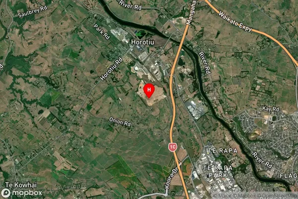
Horotiu Satellite Map
Full Address
Horotiu, Waikato, WaikatoHorotiu Coordinates
-37.714431,175.199692 (Latitude / Longitude)Horotiu Map in NZ
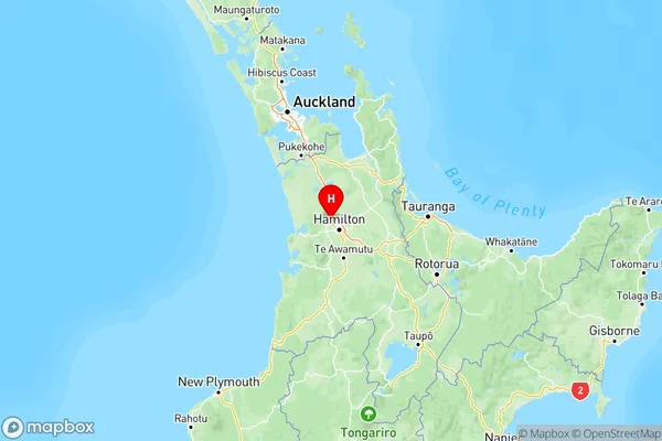
NZ Island
North IslandCountry
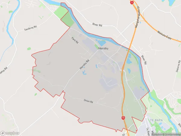
Horotiu Area Map (Polygon)
Name
HorotiuAdditional Name
Pukete IndustrialLocal Authority
Hamilton City, Waikato District
Horotiu Suburbs (Sort by Population)
Horotiu also known as Pukete Industrial. Horotiu suburb has around
21.2 square
kilometers.There are more than 1150 people (estimated)
live in Horotiu, Hamilton, Waikato, New Zealand.