Churchill Suburbs & Region, Churchill Map & Postcodes in Churchill, Waikato, Waikato
Churchill Postcodes, Churchill ZipCodes, Churchill , Churchill Waikato, Churchill Suburbs, Churchill Region, Churchill Map, Churchill Area
Churchill Region (Tikotiko Region)
Churchill Suburbs
Churchill is a suburb place type in Waikato, Waikato, NZ. It contains 0 suburbs or localities.Churchill district
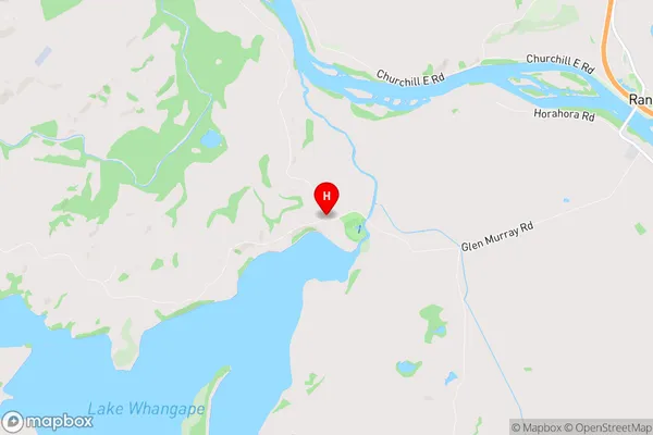
WaikatoChurchill Region Map
Churchill Introduction
Churchill is a small town in the Waikato region of New Zealand. It is located on State Highway 1, approximately 45 minutes south of Hamilton. The town has a population of around 1,200 people and is known for its historic buildings, including the Churchill Hotel and the St. Paul's Anglican Church. The town also has a popular golf course and a community center. Churchill is surrounded by farmland and has a peaceful rural atmosphere. The town is named after Winston Churchill, who was Prime Minister of the United Kingdom during World War II.Churchill Region
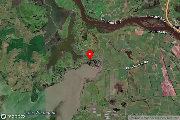
Churchill Satellite Map
Full Address
Churchill, Waikato, WaikatoChurchill Coordinates
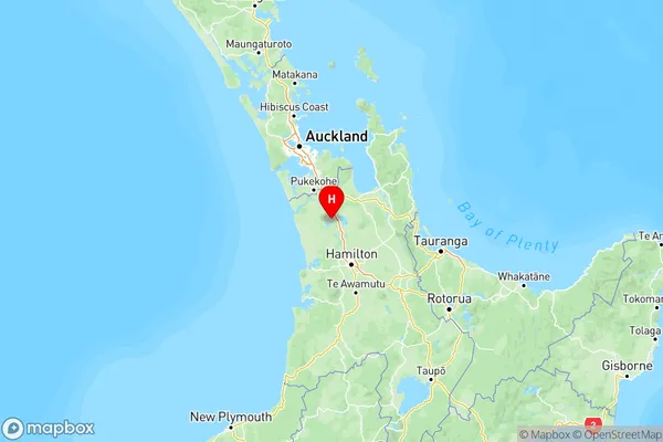
-37.4450218,175.0815217 (Latitude / Longitude)Churchill Map in NZ
NZ Island
North IslandCountry
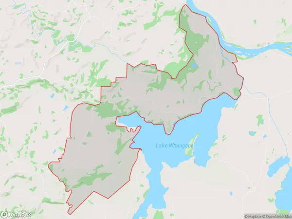
Churchill Area Map (Polygon)
Name
ChurchillAdditional Name
TikotikoLocal Authority
Waikato District
Churchill Suburbs (Sort by Population)
Churchill also known as Tikotiko. Churchill suburb has around
36.0 square
kilometers.There are more than 163 people (estimated)
live in Churchill, , Waikato, New Zealand.