Turua Suburbs & Region, Turua Map & Postcodes in Turua, Hauraki, Waikato
Turua Postcodes, Turua ZipCodes, Turua , Turua Waikato, Turua Suburbs, Turua Region, Turua Map, Turua Area
Turua Region (Horahia Region)
Turua Suburbs
Turua is a suburb place type in Hauraki, Waikato, NZ. It contains 0 suburbs or localities.Turua district
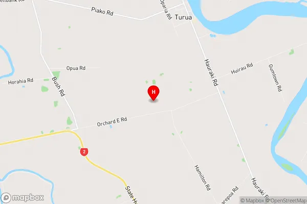
HaurakiTurua Region Map
Turua Introduction
Turua is a city in the Waikato region of New Zealand's North Island. It is situated on the banks of the Turua River, approximately 35 kilometers south of Hamilton. The city has a population of around 50,000 people and is known for its historic buildings, including the Turua District Library and the Turua Power Station. The area around Turua is popular for outdoor activities such as hiking, fishing, and cycling, with the nearby Waikato River providing a range of water-based activities. The city also has a number of parks and recreational facilities, including a golf course and a sports stadium.Turua Region
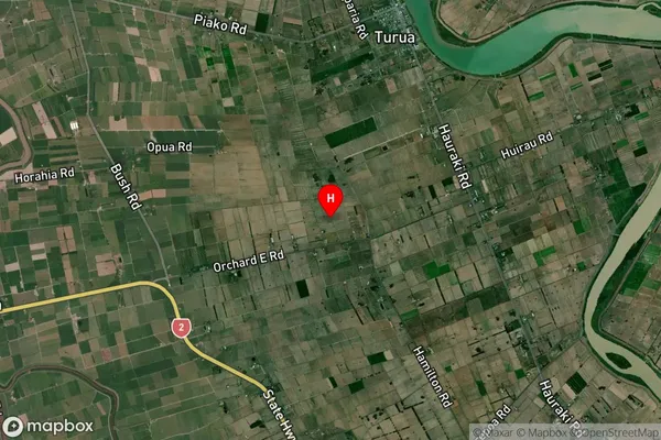
Turua Satellite Map
Full Address
Turua, Hauraki, WaikatoTurua Coordinates
-37.263699,175.555735 (Latitude / Longitude)Turua Map in NZ
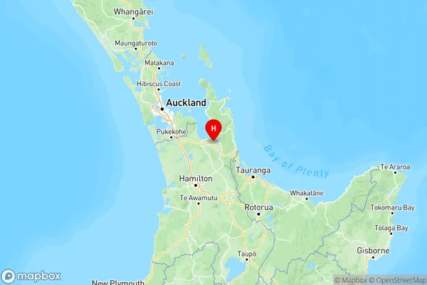
NZ Island
North IslandCountry
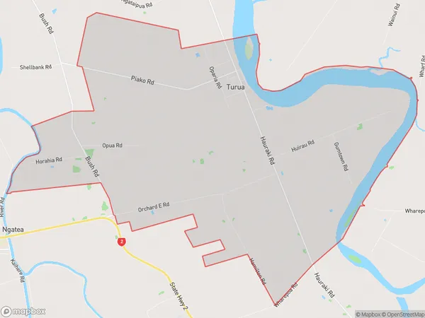
Turua Area Map (Polygon)
Name
TuruaAdditional Name
HorahiaLocal Authority
Hauraki District
Turua Suburbs (Sort by Population)
Turua also known as Horahia. Turua suburb has around
51.0 square
kilometers.There are more than 914 people (estimated)
live in Turua, Thames, Waikato, New Zealand.