Pipiroa Suburbs & Region, Pipiroa Map & Postcodes in Pipiroa, Hauraki, Waikato
Pipiroa Postcodes, Pipiroa ZipCodes, Pipiroa , Pipiroa Waikato, Pipiroa Suburbs, Pipiroa Region, Pipiroa Map, Pipiroa Area
Pipiroa Region (Kopuarahi Region)
Pipiroa Suburbs
Pipiroa is a suburb place type in Hauraki, Waikato, NZ. It contains 0 suburbs or localities.Pipiroa district
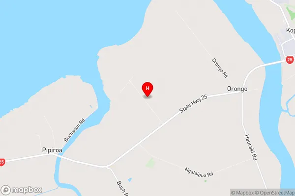
HaurakiPipiroa Region Map
Pipiroa Introduction
Pipiroa is a small town in the Waikato region of New Zealand. It is located on State Highway 1, approximately 45 minutes south of Hamilton. The town has a population of around 1,000 people and is known for its scenic surroundings, including the Pipiroa Forest and the Waikato River. The town has a primary school, a post office, a supermarket, and a few cafes and restaurants. Pipiroa is also home to a number of outdoor activities, including hiking, fishing, and hunting. The town is surrounded by farmland and has a rural atmosphere.Pipiroa Region
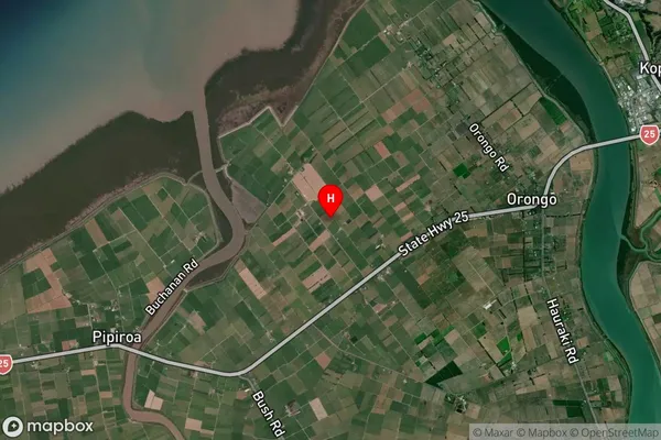
Pipiroa Satellite Map
Full Address
Pipiroa, Hauraki, WaikatoPipiroa Coordinates
-37.200497,175.518904 (Latitude / Longitude)Pipiroa Map in NZ
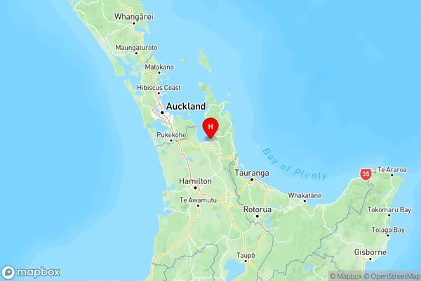
NZ Island
North IslandCountry
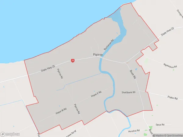
Pipiroa Area Map (Polygon)
Name
PipiroaAdditional Name
KopuarahiLocal Authority
Hauraki District
Pipiroa Suburbs (Sort by Population)
Pipiroa also known as Kopuarahi. Pipiroa suburb has around
50.4 square
kilometers.There are more than 494 people (estimated)
live in Pipiroa, Thames, Waikato, New Zealand.